52 free datasets tagged “south east england”. Open any one in Mapstack — no GIS skills, no download.
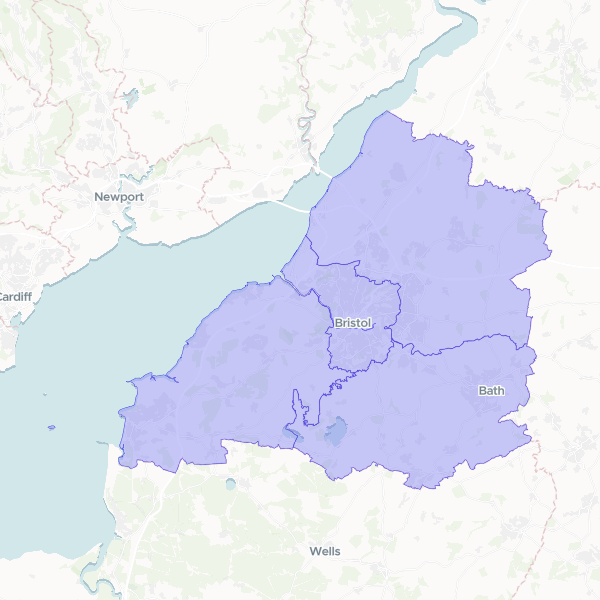
Local Authorities in West of England
Geographic boundaries and official identifiers for Local Authority Districts in the West of England region, including Bristol, Bath and North East Somerset, North Somerset, and South Gloucestershire.
4 features
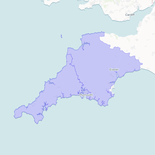
Cornwall, Devon, and Plymouth Boundaries
Administrative boundaries for the counties and unitary authorities of Cornwall, Devon, and Plymouth in South West England.
3 features
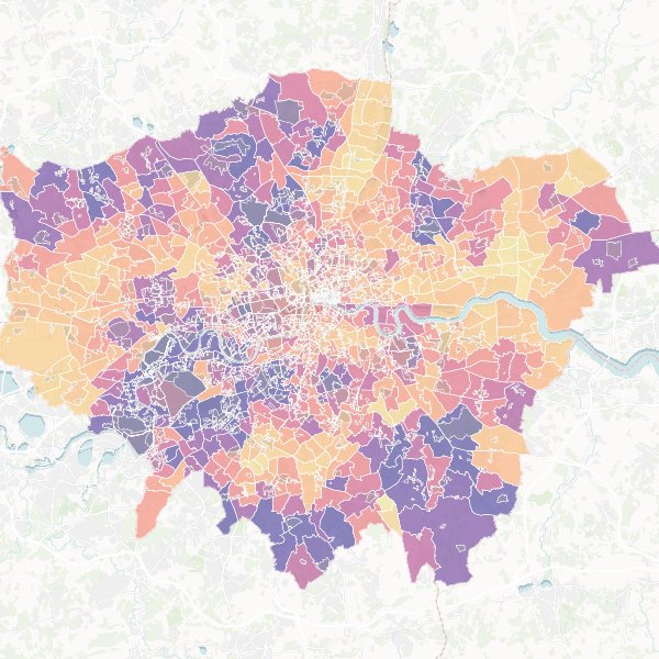
London: Premium Properties & Conservation Areas
A guide to London's premium neighborhoods, identifying wards with large family homes and high-income residents in close proximity to conservation areas. Top candidates include Northcote, Dulwich Village, and East Sheen.
Map
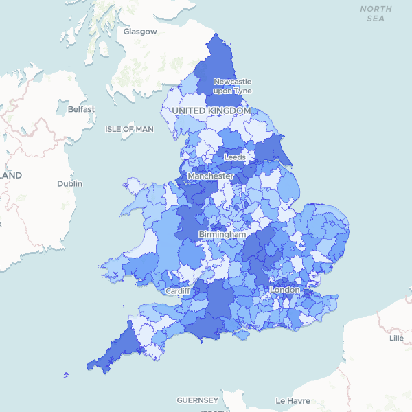
England and Wales Population by Local Authority
2021 Census full count of Total Usual Residents by local authority district.
331 features
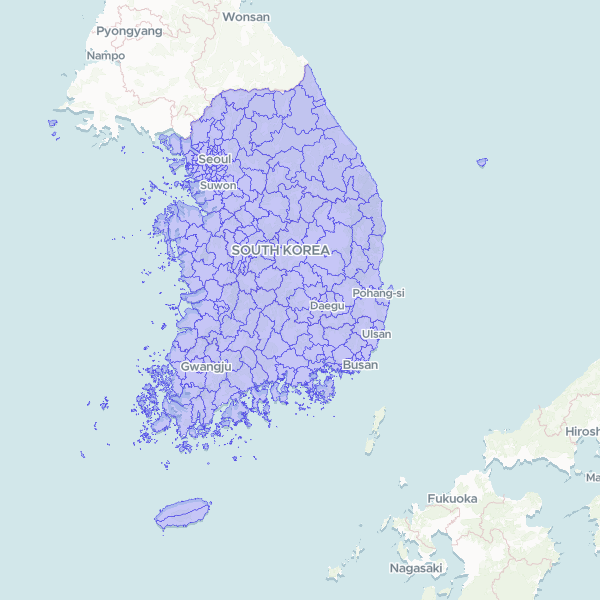
South Korea Municipalities (시군구) 2025
Official municipal-level census boundaries of South Korea — 252 si/gun/gu units in the Statistics Korea SGIS scheme, which counts non-autonomous districts of large cities separately. Base date 30 June 2025, SGIS statistical codes. Generalised for web delivery.
252 features
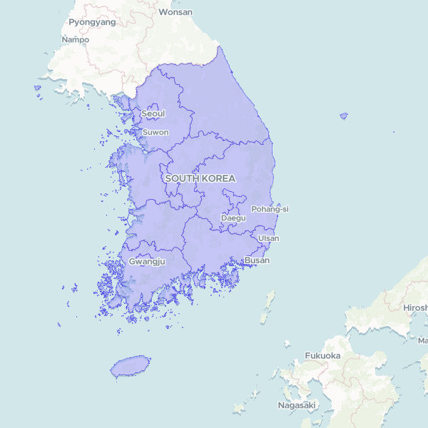
South Korea Provinces and Metropolitan Cities (시도) 2025
Official first-tier administrative boundaries of South Korea — 17 units: 8 provinces, 6 metropolitan cities, Seoul Special City, Sejong Special Self-Governing City and Jeju Special Self-Governing Province. Statistics Korea SGIS census boundaries, base date 30 June 2025, SGIS statistical codes. Generalised for web delivery.
17 features
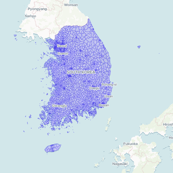
South Korea Towns and Neighborhoods (행정 읍면동) 2025
Official sub-municipal administrative boundaries of South Korea — 3,559 eup/myeon/dong units (the administrative hierarchy used for census statistics, not the legal-district hierarchy). Statistics Korea SGIS census boundaries, base date 30 June 2025, SGIS statistical codes. Generalised for web delivery.
3,559 features
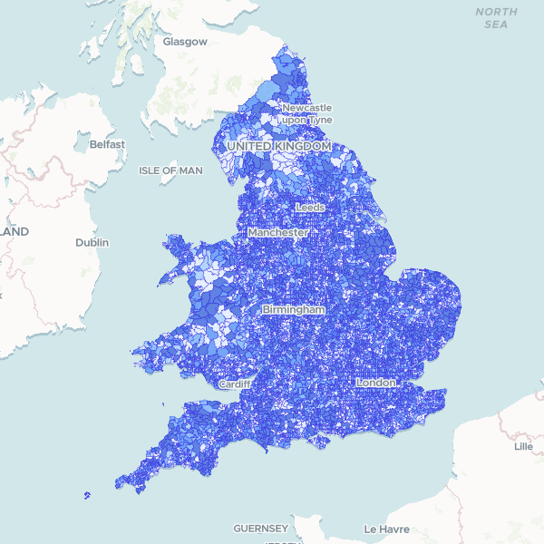
England and Wales population by LSOA
Census 2021 full-count population total by Lower layer Super Output Area (LSOA). Note: Coverage is restricted to England and Wales.
35,672 features
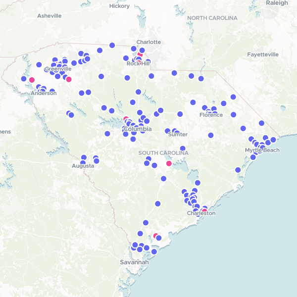
Wendy's Locations in South Carolina
Wendy's restaurant locations in South Carolina.
152 features
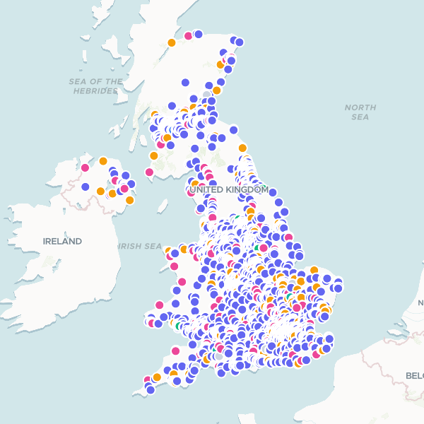
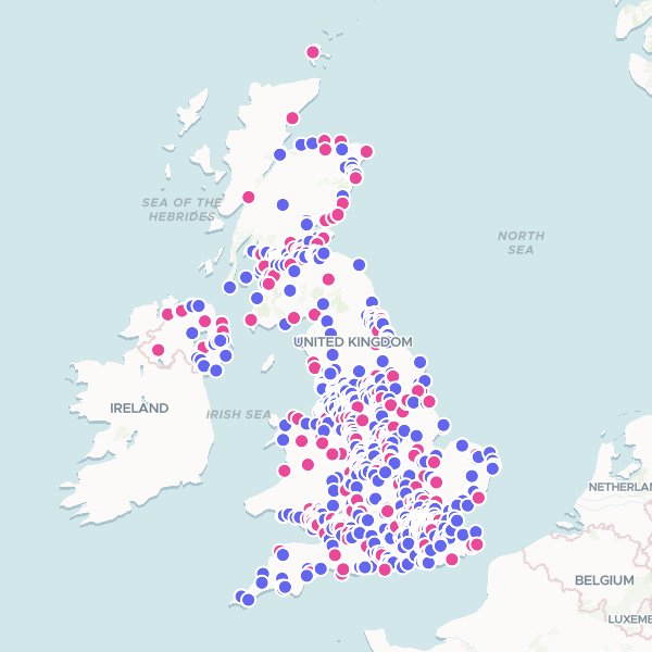
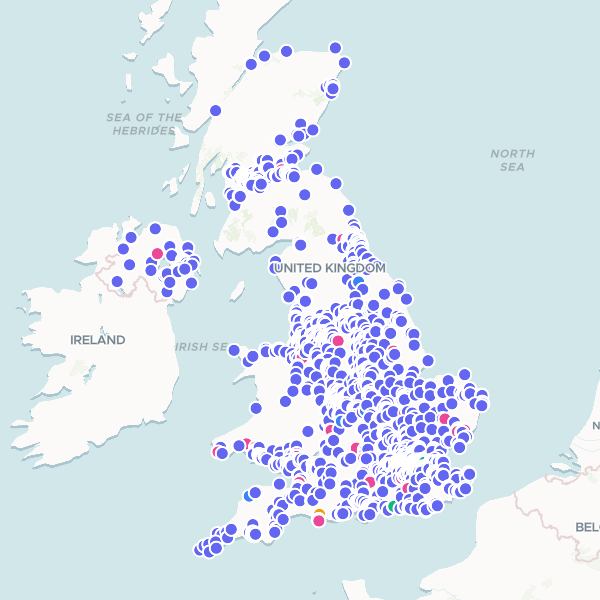
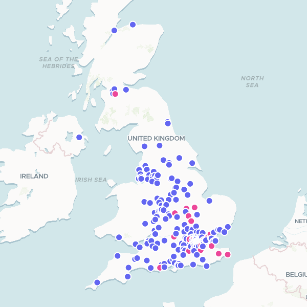
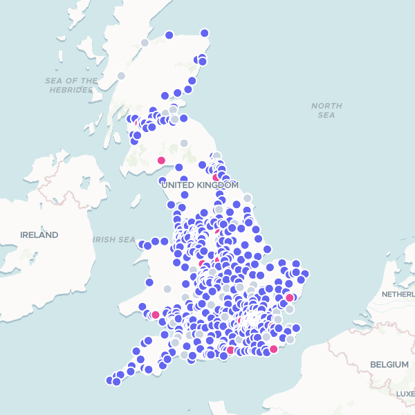
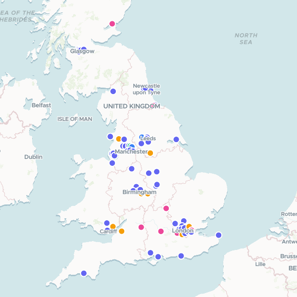
Greggs Locations
All Greggs locations in the United Kingdom, retrieved for distribution and density analysis.
3,191 features
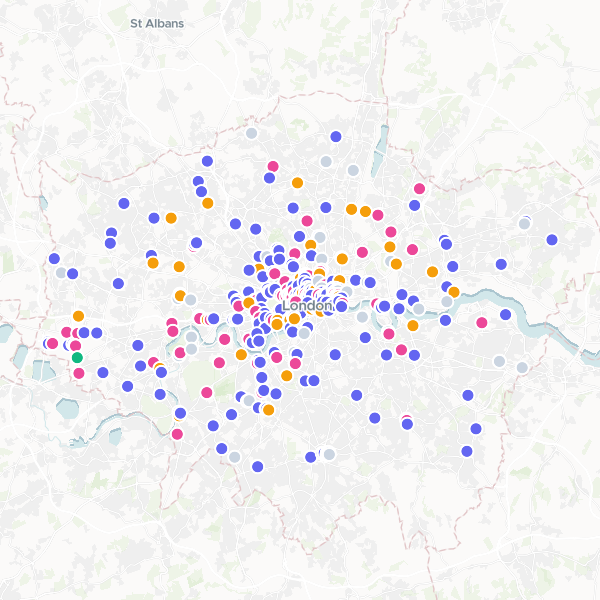
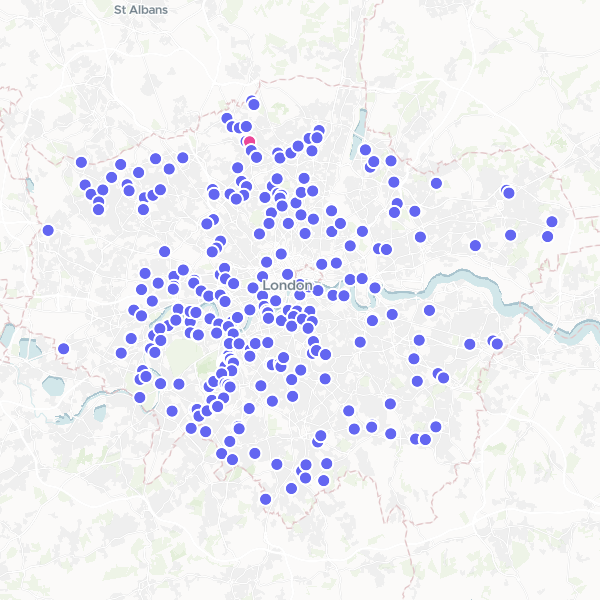
Starbucks Locations in London
A dataset of Starbucks locations in London, deduplicated.
353 features
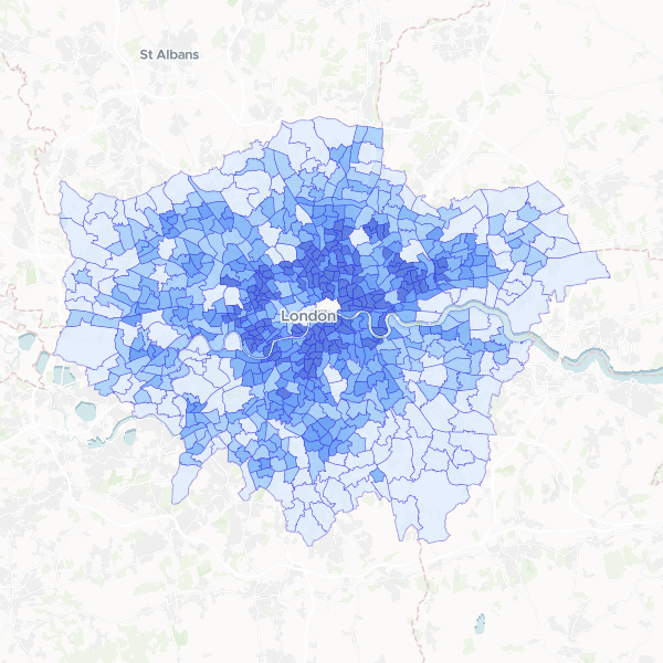
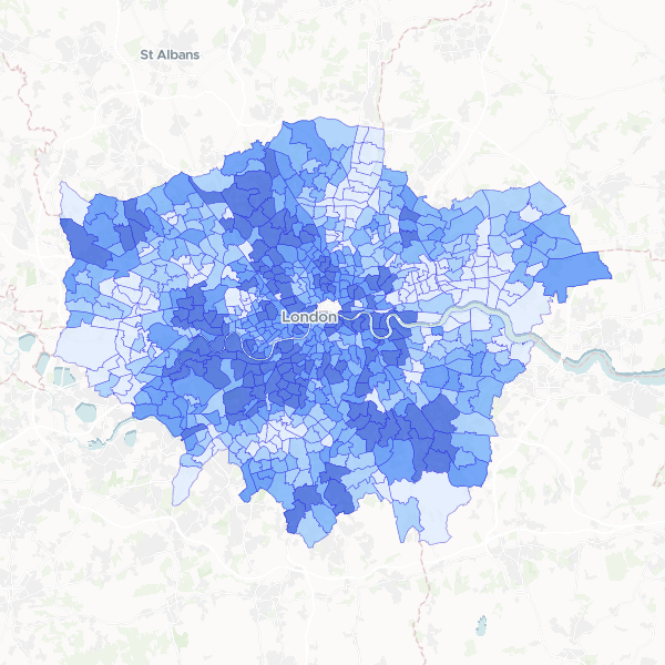
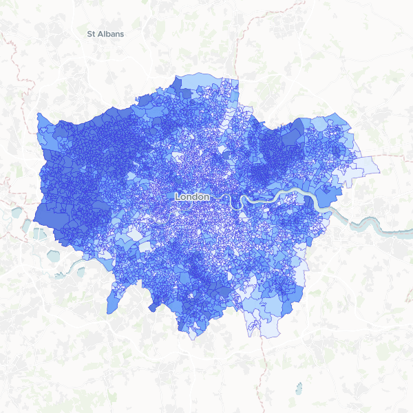
London Ward Population Density
Population density (persons per square kilometre) by electoral ward in London.
679 features
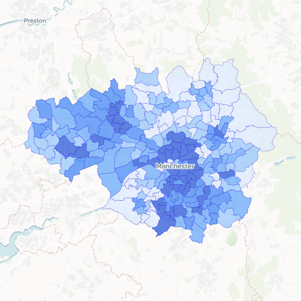
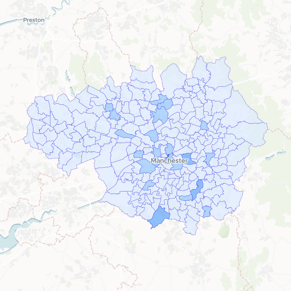
Greater Manchester population by ward
Total population (all usual residents) for wards in Greater Manchester.
215 features
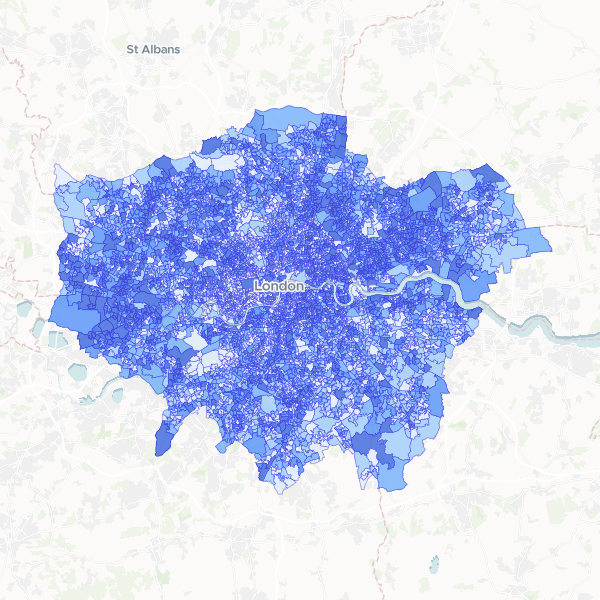
London Population by LSOA
Total usual residents at LSOA level in London.
4,995 features
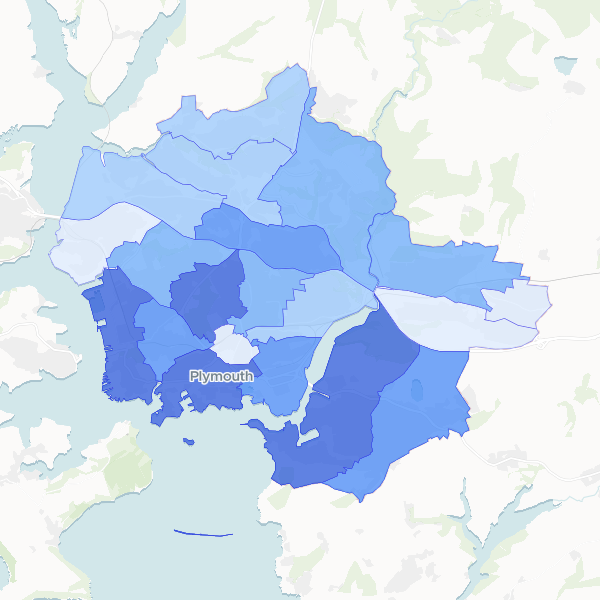
Plymouth household deprivation by electoral ward
Household deprivation status for electoral wards in Plymouth, based on 2021 Census table TS011. Measures households deprived in 0 to 4 dimensions.
20 features
London Higher Managerial and Professional Occupations by Ward
Higher managerial, administrative and professional occupations (NS-SeC L1-L3) as a percentage of all usual residents aged 16 years and over by electoral ward in London.
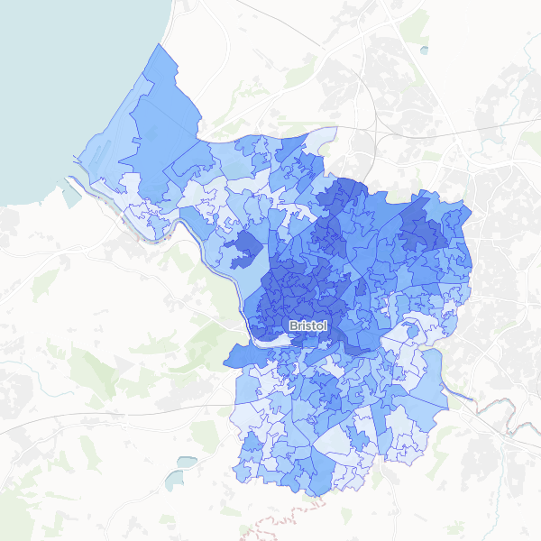
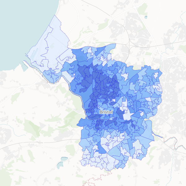
Full-time student concentration in Bristol by LSOA
Full-time students as a proportion of total population at LSOA level in Bristol.
268 features
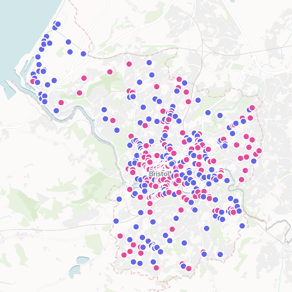
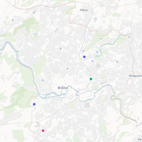
Independent Shops and Cafes in Bristol
A dataset of independent retail outlets and cafes across Bristol, identified by filtering out national brands and chains to highlight local businesses.
485 features
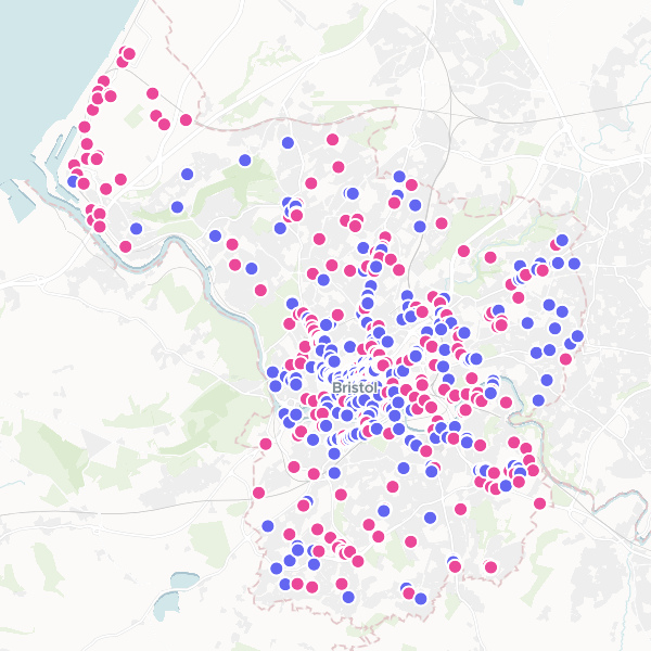
Retail Shops and Cafes in Bristol
A dataset of retail shops and cafe businesses in Bristol, excluding industrial and wholesale, collected to assist in identifying independent business clusters.
560 features
Cafes in Bristol
A dataset of cafes, coffee shops, and tea rooms in Bristol. Note: Some records may be categorized as restaurants or fast food outlets based on Overture taxonomy.
462 features
UK Football Stadiums and Soccer Fields
Locations of football stadiums and soccer fields across the UK.
1,092 features
Kenji, Pop Mart, and Miniso Locations in the UK
Locations of Kenji, Pop Mart, and Miniso retail stores in the UK.
37 features
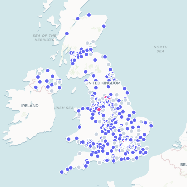
Sports Direct Locations
Sports Direct locations across the UK, including retail stores, fitness centers, and concessions.
620 features
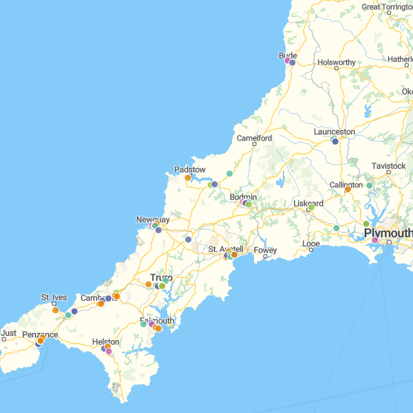
Supermarkets in Cornwall
A comprehensive dataset of retail food outlets across Cornwall, including major supermarket chains, local grocery stores, and convenience shops.
72 features
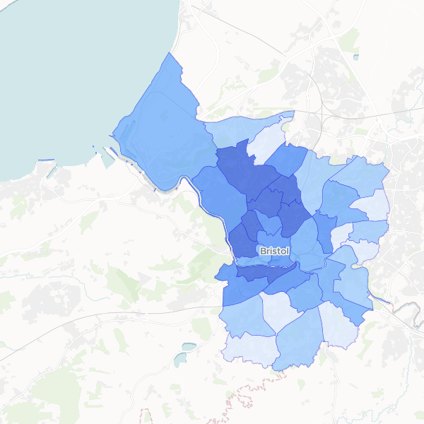
Bristol higher managerial and professional occupations by ward
Number of persons in NS-SeC higher managerial, administrative and professional occupations, along with total population, by electoral ward.
34 features
Bristol Higher managerial and professional occupations by LSOA
Higher managerial, administrative and professional occupations (NS-SEC L1, L2, L3) as a share of all usual residents aged 16+ by LSOA.
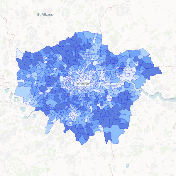
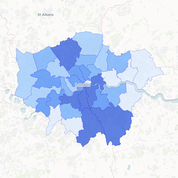
London households with 4 or more bedrooms by ward
Number of households with 4 or more bedrooms compared to total households by ward in London.
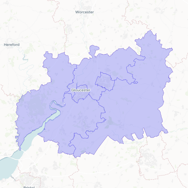
Gloucestershire Local Authority Districts
Geographic boundaries and official identifiers for the six local authority districts within Gloucestershire, England, including Gloucester, Cheltenham, Stroud, Cotswold, Forest of Dean, and Tewkesbury.
6 features
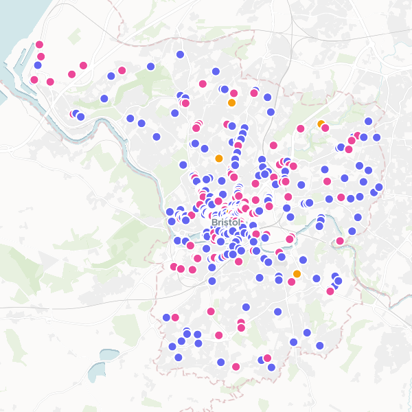
High Schools in Bristol
High school locations in Bristol. Note: This dataset includes some records classified as other school types (e.g., elementary or middle schools) due to category sense contamination in the source data.
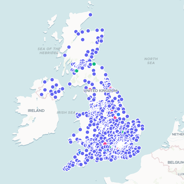
McDonald's UK Locations
All McDonald's restaurants in the United Kingdom.
1,608 features
London residents in higher managerial or professional occupations by LAD
Share of usual residents aged 16+ in NS-SEC L1, L2 and L3 (higher managerial, administrative, and professional occupations) versus total residents aged 16+.
33 features
Greggs locations by Greater Manchester ward
A spatial analysis showing the distribution and density of Greggs bakery outlets across electoral wards in Greater Manchester, including total population counts for demographic context.
Plymouth youth population (10-19) by ward
Youth population (aged 10-19) in Plymouth by electoral ward, with total population as denominator.
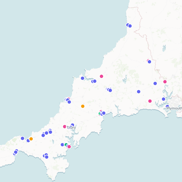
Major Supermarkets in Cornwall, UK
Interactive map showing the distribution of 72 major supermarket retail stores across Cornwall, UK, categorized by brand.
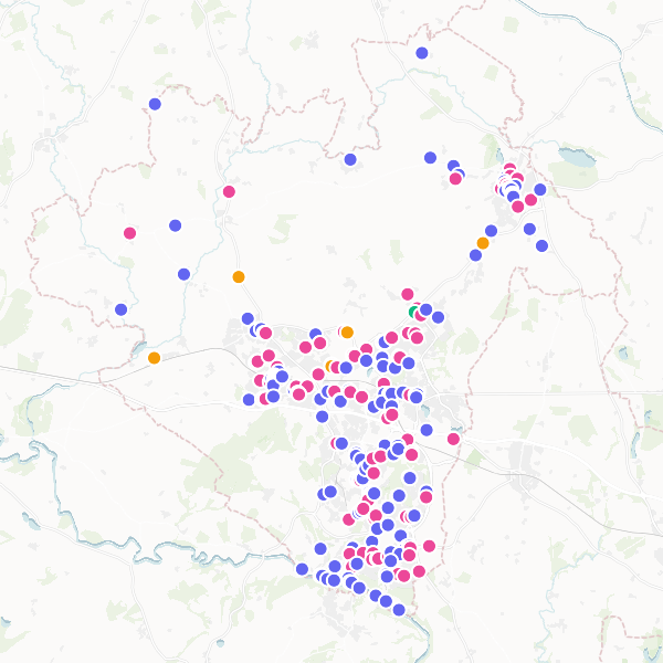
Pubs and Corner Shops in Telford and Wrekin
Pubs and Corner Shops in Telford and Wrekin, excluding supermarkets. Note: Dataset includes incidental supermarket records identified in sub-category breakdown.
250 features
London Indian Population by LSOA
Indian ethnic group population (Asian, Asian British or Asian Welsh: Indian) and Total Usual Residents from the 2021 Census. This dataset contains only the Indian ethnic group population; other ethnic groups are excluded from this dataset.
4,997 features
Anytime Fitness UK
Anytime Fitness gym locations in the United Kingdom.
Toolstation Locations in the UK
Toolstation locations across the UK.
639 features
Tennis Courts in London
Tennis courts and tennis stadiums located within the London boundary.
284 features
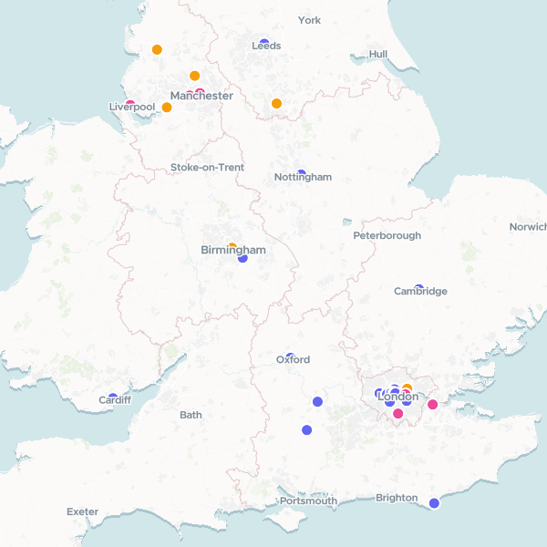
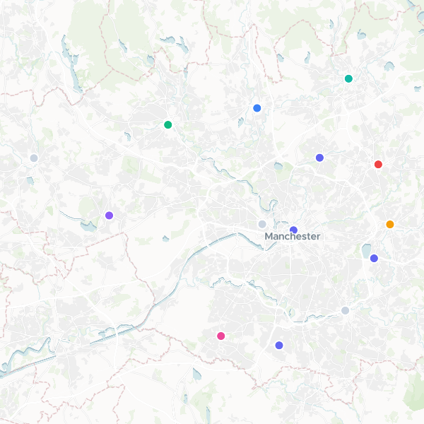
CeX Shops in Greater Manchester
CeX shops located in Greater Manchester.
14 features
Screwfix Locations in the UK
Screwfix locations across the UK.
979 features
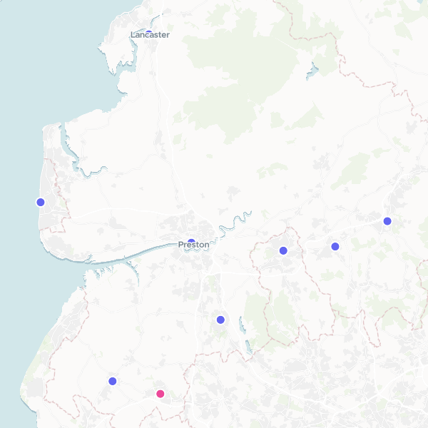
CeX Shops in Lancashire
A dataset of CeX shops located in Lancashire.
9 features
Footasylum Locations (UK)
Locations of Footasylum stores in the UK.
76 features
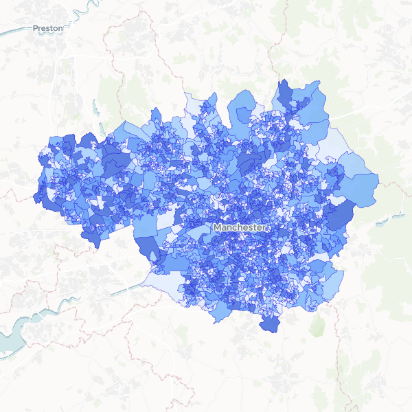
Deprivation by LSOA in Greater Manchester
Households by number of deprivation dimensions in Greater Manchester. Deprivation is defined based on four dimensions: employment, education, health and disability, and housing. Normalise using Total Households to compute the proportion of households in each deprivation category.
1,702 features
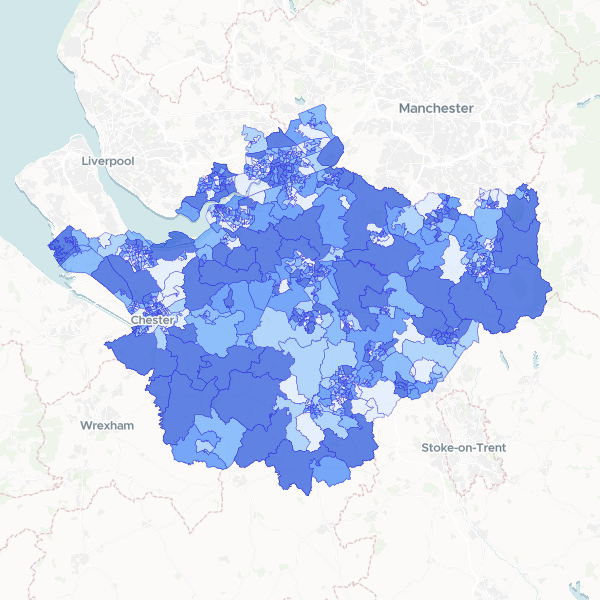
Household deprivation in Cheshire by LSOA
Households by number of deprivation dimensions in Cheshire (Census 2021, full count). Includes total households and number of households deprived in zero, one, two, three, or four dimensions, used here as a proxy for affluence.
678 features
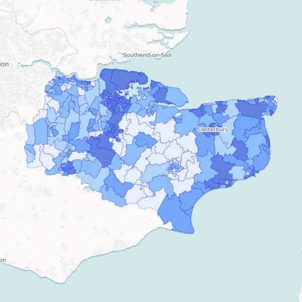
Kent Households by Deprivation Dimensions by Ward
Number of households in Kent by number of deprivation dimensions (from none to four), with Total Households as a denominator (Census 2021, full count). The dimensions cover employment, education, health/disability, and household overcrowding. Households not deprived in any dimension are included. Complete set of dimensions published.
293 features
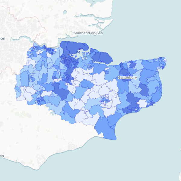
Kent Population by Ward
Total Usual Residents (2021) for Kent by 2022 electoral ward. This dataset is a full count. To compute population density, normalize this column against the area of each ward.
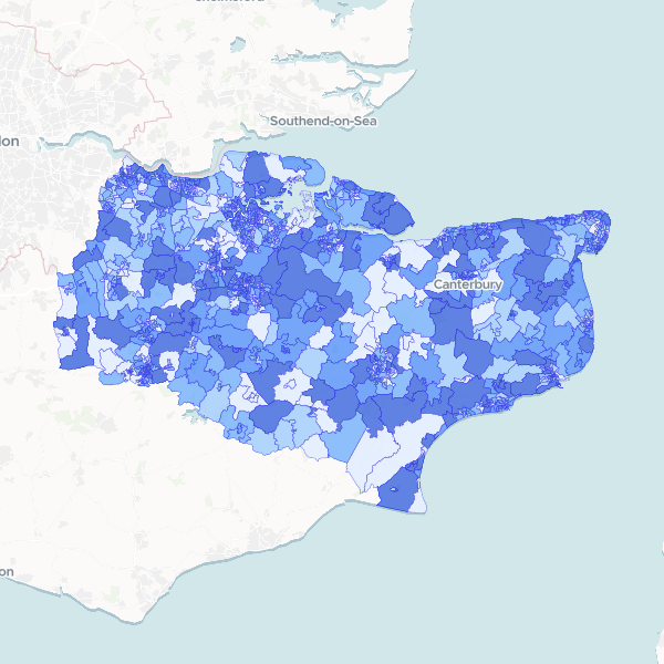
NS-SeC by Kent LSOA
Socio-economic status (NS-SeC) breakdown by LSOA for Kent, using 2021 Census data. Contains counts for all occupational categories and the total residents aged 16+. Full-count data.
1,105 features
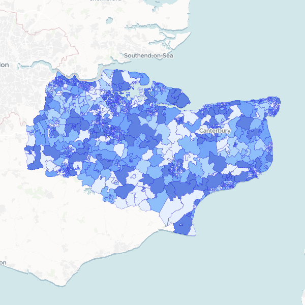
Kent population by LSOA
Total Usual Residents from the 2021 Census, published at Lower layer Super Output Area (LSOA) level. This dataset provides the population count per LSOA for Kent. Density can be calculated by dividing these counts by the LSOA area.
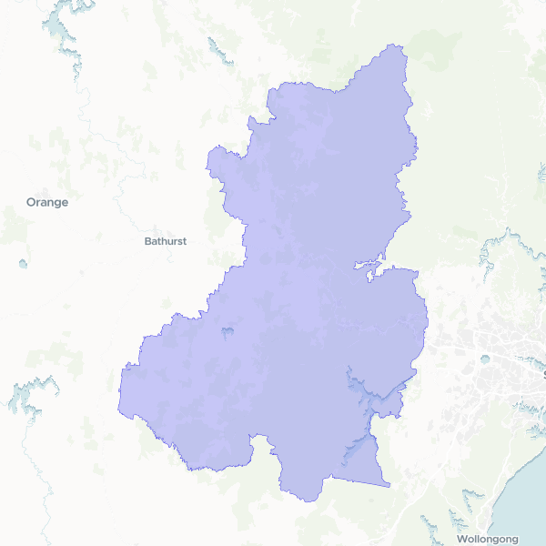
Blue Mountains Tourism Region Boundary
Geographic boundary and administrative identifiers for the Blue Mountains Tourism Region in New South Wales, Australia, based on 2021 definitions.
1 features
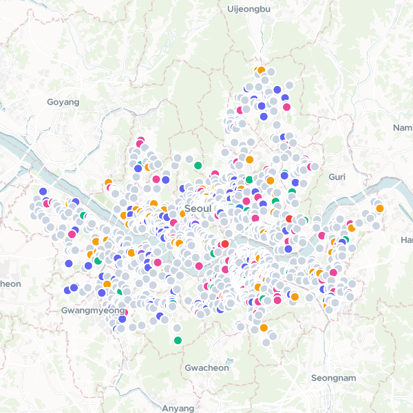
Convenience Stores in Seoul
Convenience store locations within Seoul.
1,447 features
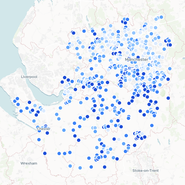
Garden Centres in Manchester and Cheshire by Affluence
A ranked list of garden centres and florists across Greater Manchester and Cheshire, enriched with local affluence data. The dataset combines business locations with census-based household deprivation statistics to identify retail sites in high-income areas.
627 features