4 free datasets tagged “neighborhoods”. Open any one in Mapstack — no GIS skills, no download.
London's Premium Neighborhoods: Space, Wealth, and Heritage
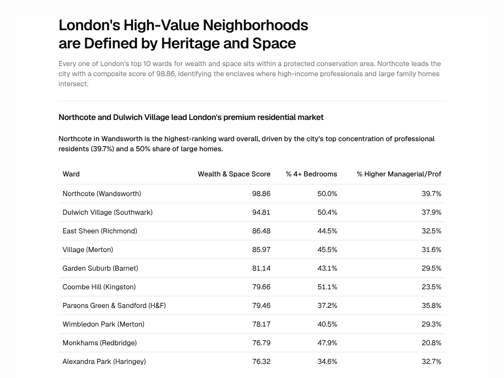
Every one of London's top 10 wards for wealth and space sits within a protected conservation area. Northcote leads the city with a composite score of 98.86, identifying the enclaves where high-income professionals and large family homes intersect.
Report
South Korea Towns and Neighborhoods (행정 읍면동) 2025
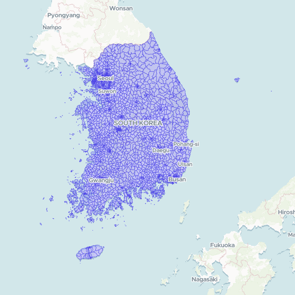
Official sub-municipal administrative boundaries of South Korea — 3,559 eup/myeon/dong units (the administrative hierarchy used for census statistics, not the legal-district hierarchy). Statistics Korea SGIS census boundaries, base date 30 June 2025, SGIS statistical codes. Generalised for web delivery.
3,559 features
Household deprivation in Cheshire by LSOA
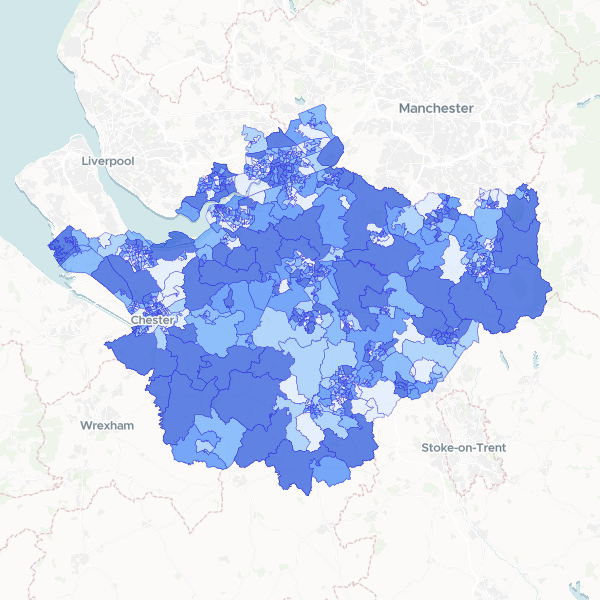
Households by number of deprivation dimensions in Cheshire (Census 2021, full count). Includes total households and number of households deprived in zero, one, two, three, or four dimensions, used here as a proxy for affluence.
678 features
London: Premium Properties & Conservation Areas
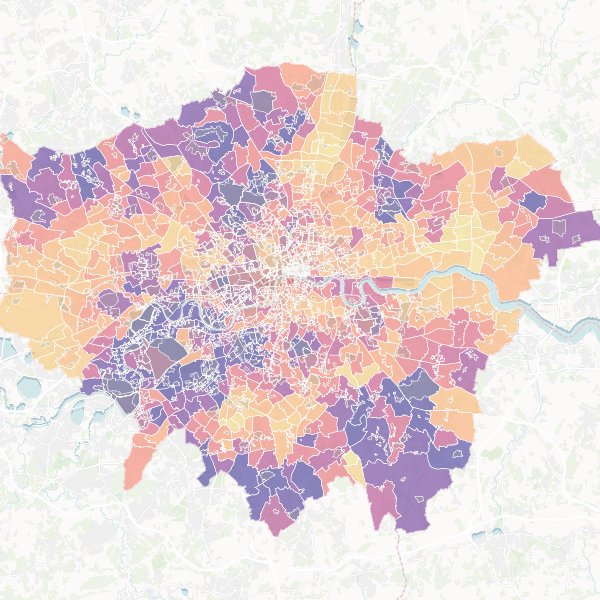
A guide to London's premium neighborhoods, identifying wards with large family homes and high-income residents in close proximity to conservation areas. Top candidates include Northcote, Dulwich Village, and East Sheen.
Map