7 free datasets tagged “manchester”. Open any one in Mapstack — no GIS skills, no download.
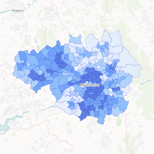
Greater Manchester population by ward
Total population (all usual residents) for wards in Greater Manchester.
215 features
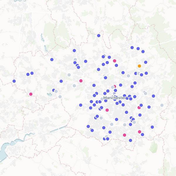
Greggs Locations in Greater Manchester
All Greggs branded locations in Greater Manchester, UK.
126 features
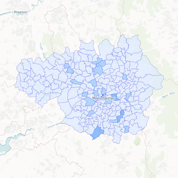
Greggs locations by Greater Manchester ward
A spatial analysis showing the distribution and density of Greggs bakery outlets across electoral wards in Greater Manchester, including total population counts for demographic context.
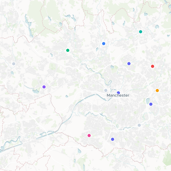
CeX Shops in Greater Manchester
CeX shops located in Greater Manchester.
14 features
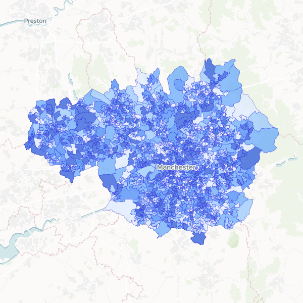
Deprivation by LSOA in Greater Manchester
Households by number of deprivation dimensions in Greater Manchester. Deprivation is defined based on four dimensions: employment, education, health and disability, and housing. Normalise using Total Households to compute the proportion of households in each deprivation category.
1,702 features
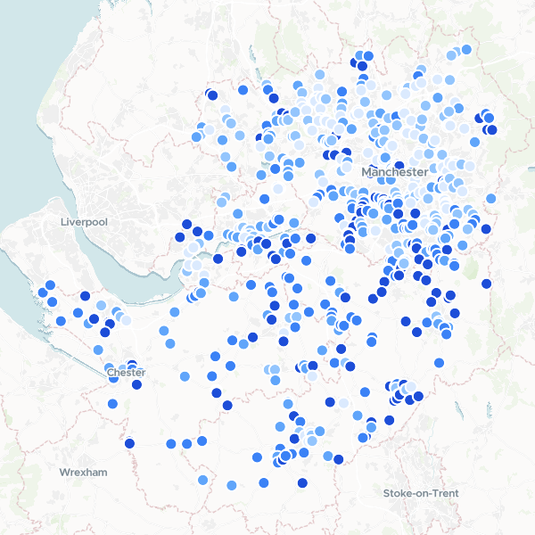
Garden Centres in Manchester and Cheshire by Affluence
A ranked list of garden centres and florists across Greater Manchester and Cheshire, enriched with local affluence data. The dataset combines business locations with census-based household deprivation statistics to identify retail sites in high-income areas.
627 features
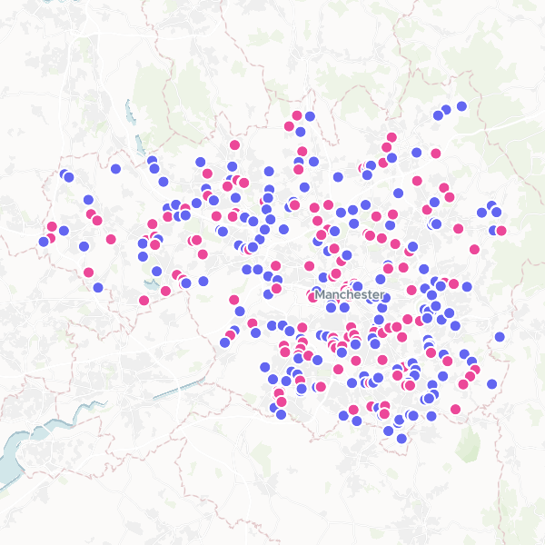
Garden Centres and Florists in Greater Manchester
Garden Centres and Florists within the Greater Manchester boundary.
354 features