4 free datasets tagged “luxembourg”. Open any one in Mapstack — no GIS skills, no download.
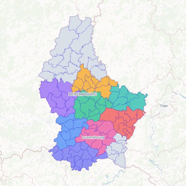
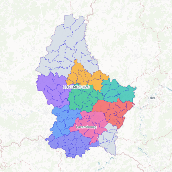
Communes (Luxembourg, 2026-07)
Communes of the Luxembourg, 2026-07. LAU / ADM2, the primary join level. 100 communes since the 2023 mergers (102→100). LAU2 = 4-char national commune code (string WITH leading zeros, '0101'..'1209', unique, 0 nulls) is the join key; COMMUNE the name; parent CANTON name kept for join flexibility. DISTRICT dropped (abolished 2015). Fresh publish — no incumbent.
100 features
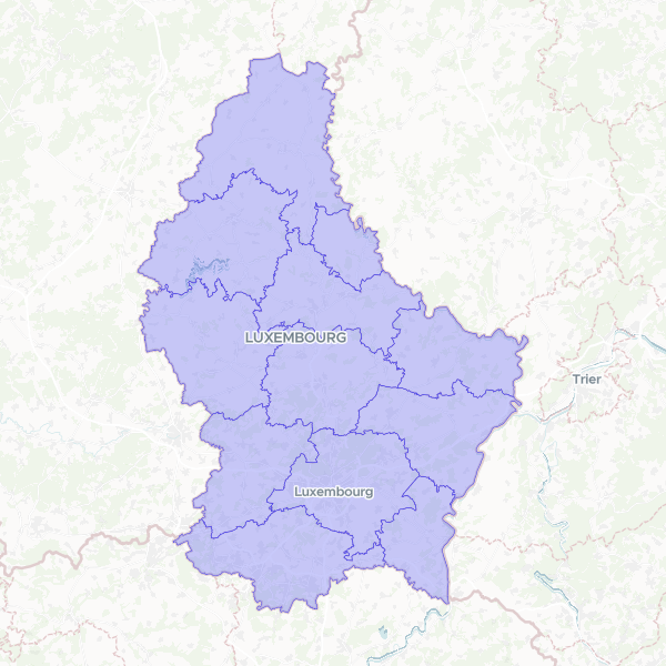
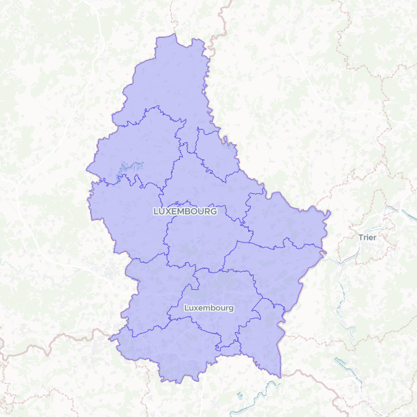
Cantons (Luxembourg, 2026-07)
Cantons of the Luxembourg, 2026-07. ADM1. 12 cantons, stable. LAU1 = 2-char national canton code (string, unique, 0 nulls). Republishes the eval-pass incumbent cm_r3Abe9f8fCuI from the documented ACT CC0 source (replace, carries the id forward). DISTRICT dropped — the districts were abolished in 2015.
12 features
Luxembourg Communes and Cantons
Administrative boundaries and alphabetical indexing of communes in Luxembourg, including official LAU2 codes and canton associations.
Numbered Cantons of Luxembourg
Geographic boundaries for Luxembourg's cantons, indexed numerically by their alphabetical order for mapping and identification purposes.