6 free datasets tagged “households”. Open any one in Mapstack — no GIS skills, no download.
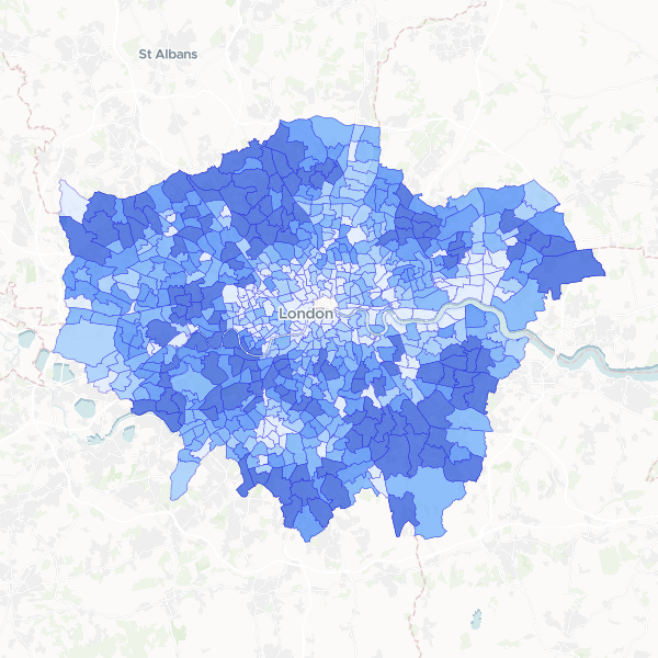
London households with 4 or more bedrooms by ward
Number of households with 4 or more bedrooms compared to total households by ward in London.
679 features
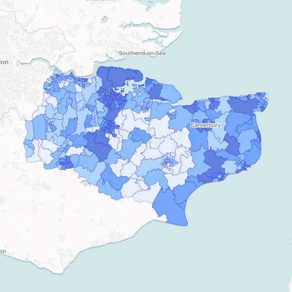
Kent Households by Deprivation Dimensions by Ward
Number of households in Kent by number of deprivation dimensions (from none to four), with Total Households as a denominator (Census 2021, full count). The dimensions cover employment, education, health/disability, and household overcrowding. Households not deprived in any dimension are included. Complete set of dimensions published.
293 features
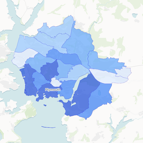
Plymouth household deprivation by electoral ward
Household deprivation status for electoral wards in Plymouth, based on 2021 Census table TS011. Measures households deprived in 0 to 4 dimensions.
20 features
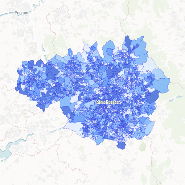
Deprivation by LSOA in Greater Manchester
Households by number of deprivation dimensions in Greater Manchester. Deprivation is defined based on four dimensions: employment, education, health and disability, and housing. Normalise using Total Households to compute the proportion of households in each deprivation category.
1,702 features
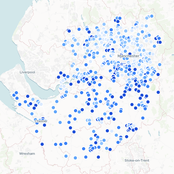
Garden Centres in Manchester and Cheshire by Affluence
A ranked list of garden centres and florists across Greater Manchester and Cheshire, enriched with local affluence data. The dataset combines business locations with census-based household deprivation statistics to identify retail sites in high-income areas.
627 features
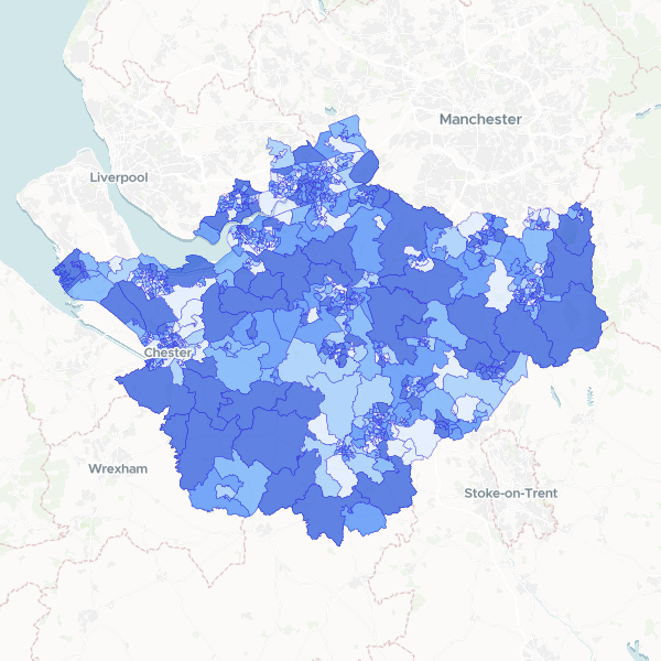
Household deprivation in Cheshire by LSOA
Households by number of deprivation dimensions in Cheshire (Census 2021, full count). Includes total households and number of households deprived in zero, one, two, three, or four dimensions, used here as a proxy for affluence.
678 features