7 free datasets tagged “garden centre”. Open any one in Mapstack — no GIS skills, no download.
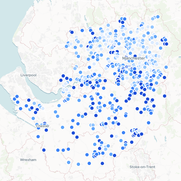
Garden Centres in Manchester and Cheshire by Affluence
A ranked list of garden centres and florists across Greater Manchester and Cheshire, enriched with local affluence data. The dataset combines business locations with census-based household deprivation statistics to identify retail sites in high-income areas.
627 features
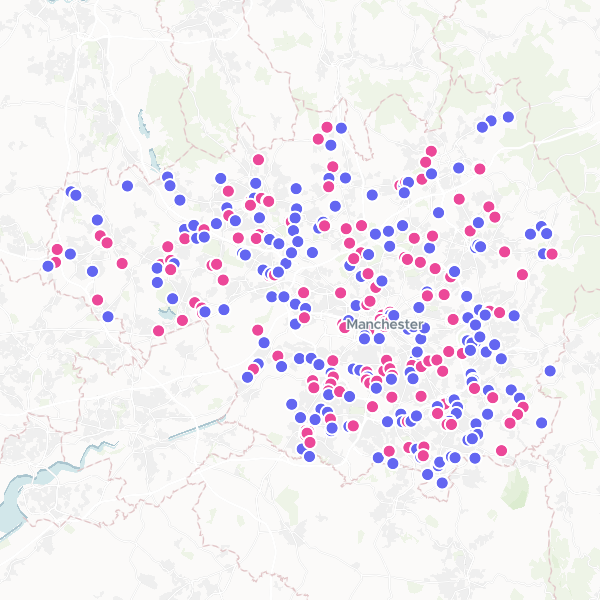
Garden Centres and Florists in Greater Manchester
Garden Centres and Florists within the Greater Manchester boundary.
354 features
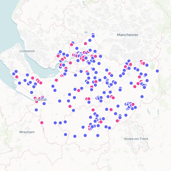
Garden Centres and Florists in Cheshire
Locations of garden centres and florists in Cheshire.
275 features
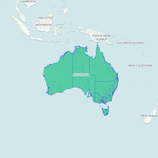
Australian Urban Centres and Localities
Geographic boundaries and classifications for Urban Centres and Localities (UCL) across Australia based on the 2021 Census. The dataset includes hierarchical classifications such as Section of State (SOS) and population ranges (SSR), facilitating analysis of urbanisation and settlement patterns across different states and territories.
1,818 features
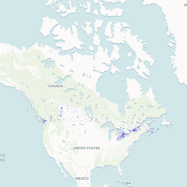
Canada Population Centres
Geographic boundaries and classification data for population centres across Canada, including unique identifiers for provinces and specific urban areas.
1,030 features
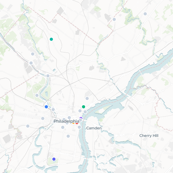
Beer Gardens in Philadelphia
Locations identified as beer gardens within Philadelphia.
37 features
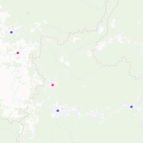
Visitor Information Centres and Government Offices
A dataset of visitor information centres and local/state government offices in the Blue Mountains region.
5 features