2 free datasets tagged “continent”. Open any one in Mapstack — no GIS skills, no download.
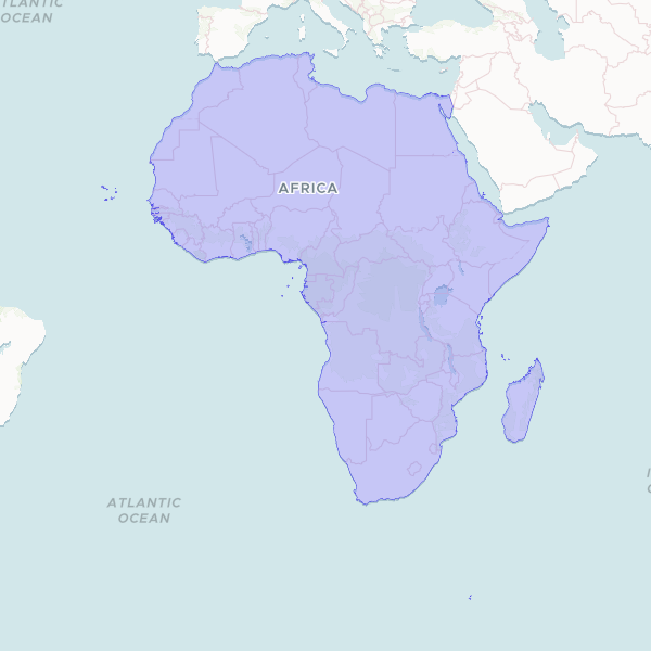
Africa Continental Boundary
A unified geographic boundary of the African continent, created by dissolving internal administrative borders. This dataset provides a clean outline suitable for continental-scale mapping and spatial visualization.
1 features
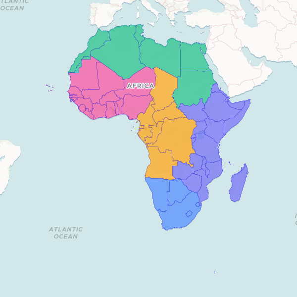
African Countries and Territories
A comprehensive geographic dataset of the African continent, providing administrative boundaries, ISO standard codes, and regional classifications for 55 countries and territories.
55 features