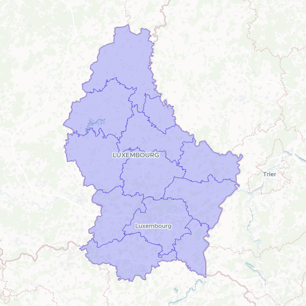
Geographic boundaries for Luxembourg's cantons, indexed numerically by their alphabetical order for mapping and identification purposes.
This dataset was created by taking official Luxembourg canton boundaries and assigning a sequential map number to each canton based on its alphabetical name to facilitate easier identification in map legends.
Showing 10 of 12 rows — open the Table tab for the full, sortable dataset.
We use cookies to improve your experience. Read our privacy policy.