2 free datasets tagged “europe”. Open any one in Mapstack — no GIS skills, no download.
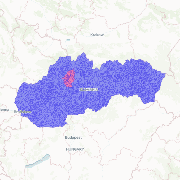
Slovak Municipalities and Turiec Region
Administrative boundaries for municipalities across Slovakia, featuring a specific indicator for the Turiec region. The dataset includes official municipality names, national identification codes, and LAU2 statistical codes for regional analysis.
2,927 features
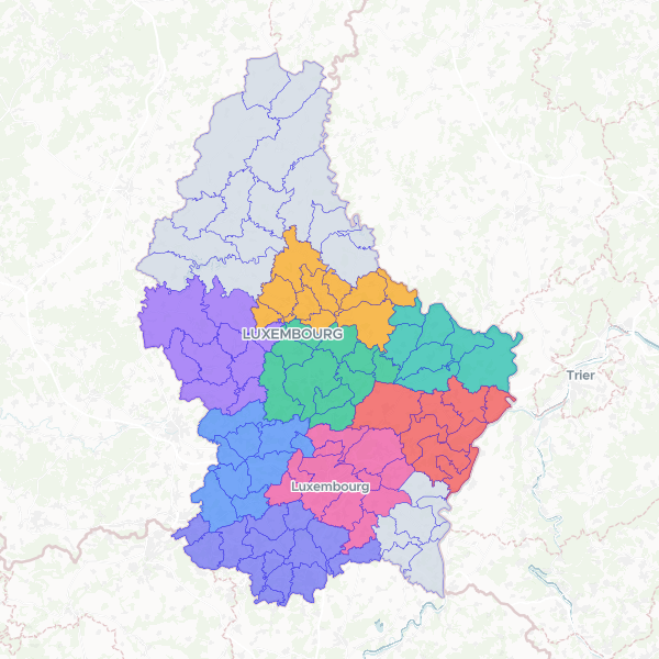
Luxembourg Communes and Cantons
Administrative boundaries and alphabetical indexing of communes in Luxembourg, including official LAU2 codes and canton associations.
100 features