districts open data

30 free datasets tagged “districts”. Open any one in Mapstack — no GIS skills, no download.

Federal Electoral Districts (Canada, 2023)

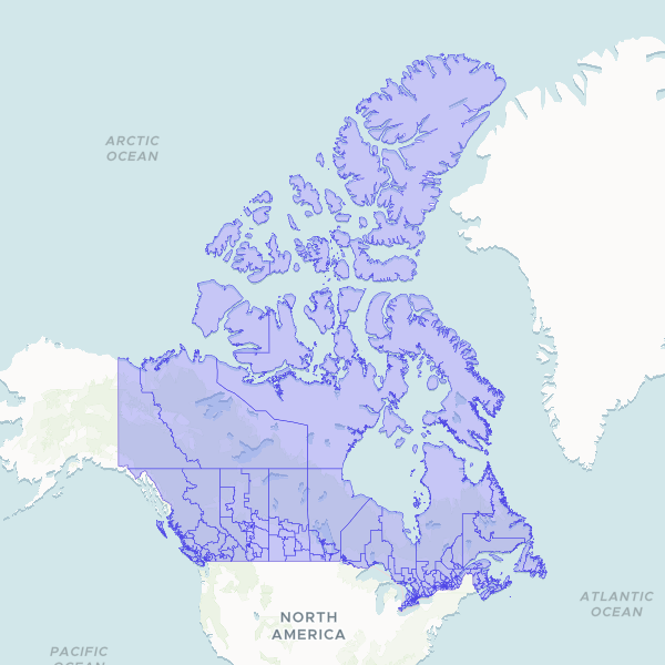
Federal Electoral Districts of the Canada, 2023. PUBLISHER/SCHEMA EXCEPTION — read before processing. Publisher is ELECTIONS CANADA (hosted by NRCan), not StatCan; licence is Open Government Licence – Canada (open.canada.ca record 18bf3ea7-1940-46ec-af52-9ba3f77ed708, license_id ca-ogl-lgo): copy, modify, publish, distribute. Elections Canada specifies NO attribution string, so the OGL fallback applies. CHOSEN OVER StatCan's lfed000b21a_e.zip (which IS live, 206) because that file is the OBSOLETE 2013 Representation Order (338 seats); the 2023 Rep Order (343, proclaimed 2023-09-22) is current and was used for the 2025 general election, so real joins will be against 343. SCHEMA BREAK: fields are FED_NUM (LONG), ED_NAMEE(100), ED_NAMEF(100), REP_ORDER(4) — there is NO FEDUID, NO FEDNAME, and NO DGUID, so this type does NOT fit the CA-DGUID code_scheme and anything assuming StatCan field names will break. FED_NUM is an integer, not a zero-padded string. CRS CONFLICT UNRESOLVED: the ArcGIS REST layer reports EPSG:3978, but the technical guide's parameters (false easting 6200000, northing 3000000, central meridian -91°52', SP 49/77) match EPSG:3347 instead — read the .prj at convert, do not assume. Single geometry variant, no carto/digital split; 9,388,965 bytes (Last-Modified 2024-12-17), already generalised. Verified 206 application/zip. COASTLINE CLIP APPLIED (disclosed): geometry is clipped to the StatCan 2021 provinces/territories Cartographic Boundary File so this set matches the land-clipped convention of every other Canadian boundary on the shelf. Unclipped, Nunavut and Northwest Territories extend to 89.999N (Arctic sector principle) and are ~60% ocean. Attribute data and district identity are untouched; only the water portion of each polygon is removed.

343 features
620

India Districts (2025)

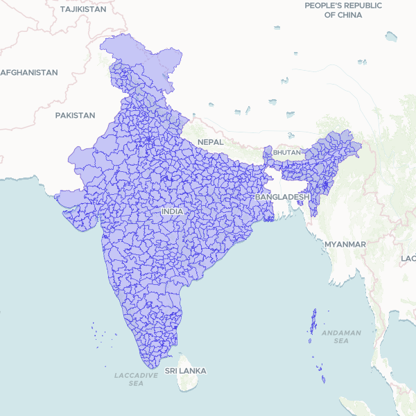
OPERATOR NOTE — resolves boundary-miss bucket admin:india:district:: (2 misses, chat DWa5bD, 2026-10-07). Sourced by the nightly boundary-miss resolver 2026-10-08. WHY NOT Survey of India ABDB: state/seeds/IN.json already had ABDB prepared and produced (district dataset nadWtq, 808 units, 2026-08-27) but parked it as a HUMAN LICENCE CALL — ABDB's ISO metadata stamps accessConstraints/useConstraints=copyright and names no open licence, so third-party redistribution by a non-Indian entity was never established (deal-breaker 2). nadWtq was never imported and verify_boundary now reports no metadata anchor: it was reaped as an orphan, so the library had nothing. This NWIC/GSI publication of the same SoI-lineage geometry carries an explicit Government of India reproduction grant and is therefore the licence-clean route to the same target. The ABDB licence question is NOT resolved by this publish — it is simply no longer blocking, and ABDB remains the more current set (777 coded districts vs 733). ALSO REJECTED: geoBoundaries gbOpen IND ADM2 — its API reports ODbL 1.0 (NOT CC BY 4.0 as IN.json assumed), sourced from 'Pathways Data Pvt. Ltd.' via a private geonode, so it is both share-alike (decision 0012 last-resort gate, which forbids it while a licence-clean source exists) and provenance-weak. GADM v4.1 — 676 units, an under-count, and non-commercial terms. data.gov.in — holds no national SoI boundary product (checked 2026-08-27). ACCEPTANCE: both retained files joined through the production join path at 96.3% (26/27). The single unmatched key, 'Purba Medinipur', is present as 'Medinipur East' (dtcode 317) — a naming-convention mismatch, NOT a coverage hole. KNOWN LIMITATION: no alternative-name column. A curated alias column (Purba/Paschim/Uttar/Dakshin forms) would lift name-join rates for Indian district data generally and is a candidate improvement, deliberately not invented unattended. Source: district_nwic_shp.zip, sha256 0c8253fed246a2823c6b08cef25bb40a1cd388334a425f18826f0d598879c526, 38,609,393 bytes, retrieved 2026-10-08.

733 features

120