Instant geocoder & map maker

Location > geocode > interactive map

Turn your location data into full interactive maps in seconds. Skip your geocoding process and go straight to impactful map visuals.

Create your mapSee some examples

From data to insights. faster!

Remove wasted time geocoding your location data or manual analysis. Enable you and your team to visualise your data to get insights quickly without cumbersome and expensive GIS tools

Simplify your workflow

Simplify your workflow

Stop juggling multiple tools. Mapstack combines geocoding and interactive mapping in a single platform, saving you time and simplifying your workflow.
No development skills needed

No development skills needed

Create your maps with ease with no development knowledge, API integrations or mapping experts required.
Simply upload or connect your data and see it instantly on an interactive map.

Fixed price and unlimited geocodes

Low cost and predictable pricing to suit your needs. Easily get signoff

Mapstack has revolutionized our PPC targeting. Visualizing customer locations helps us uncover trends, refine ad spend, and deliver highly effective campaigns. It’s a game-changer for audience insights.
Fergal Crotty from Up Digital
Fergal CrottyUp Digital
Up Digital

Goodbye messy spreadsheets, hello instant maps

Get rid of messy workflows to gather insights from location data. No more spreadsheets, geocoding and messy pivot tables. Welcome to your new streamlined mapping insights tool

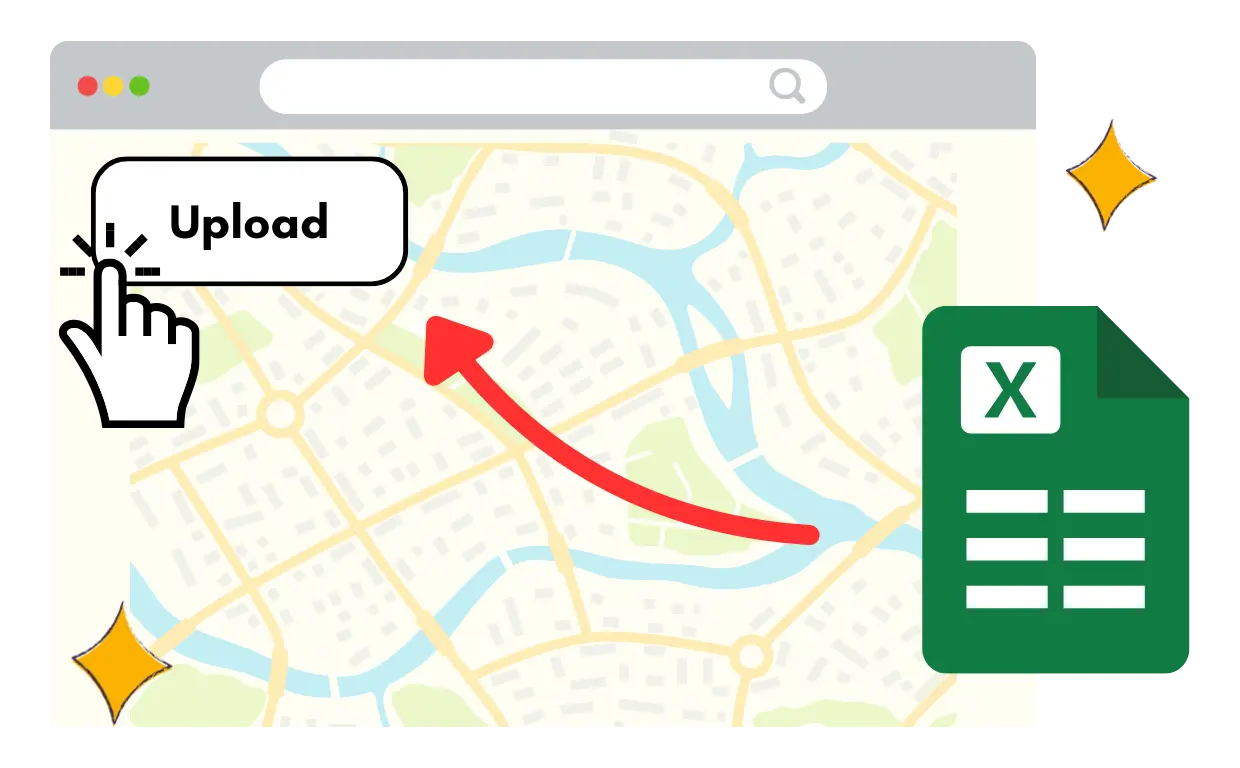
Upload your location data


Upload your location data

Easily add your location and address data from spreadsheets or wherever you store it. No need for data reorganising - Mapstack does all the hard work for you.

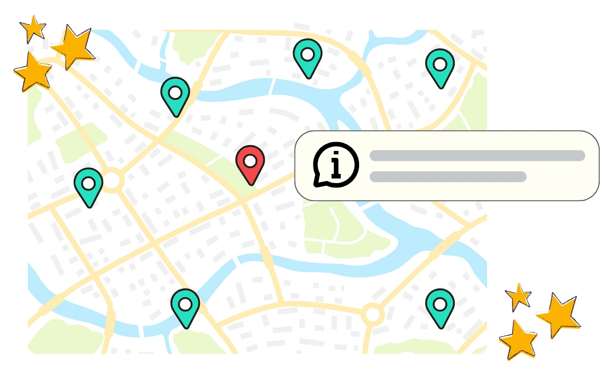
Instantly see your map


Instantly see your map

Within seconds your data is automatically geocoded and turned into an interactive map. See your data come to life without the hassle of juggling multiple tools.

Analyze and act


Analyze and act

Quickly apply filters, explore patterns and trends with your map. Make smarter decisions with real time insight and analysis tools.

Powerful map visualisations

Quickly adjust the visual layout of your data to get greater insight. From clusters, head maps, aggregates and more.


Point maps

Cluster maps

Heat maps

Boundary maps

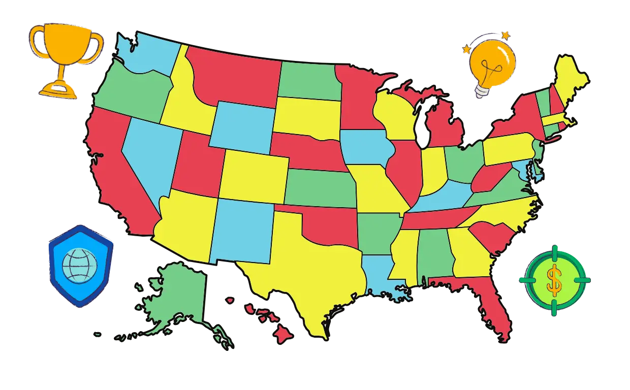
Aggregate maps

Powerful map visualisations

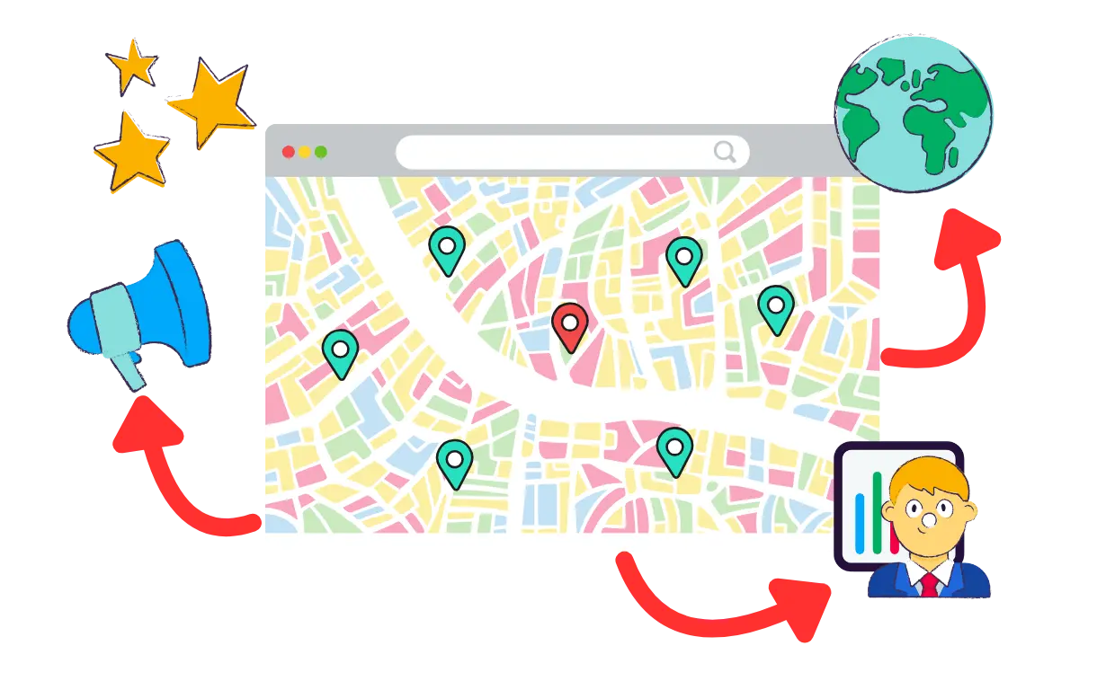
Marketers: Target with Precision

Mapstack helps marketers uncover geographic trends, refine audience segmentation, and create high-impact campaigns. Visualize customer hotspots and maximize your ROI with location-based insights.
Marketers: Target with Precision

Sales Teams: Sell Smarter

Empower your sales team with interactive maps to analyze territories, identify top-performing regions, and optimize outreach strategies. Close more deals in the right places.
Sales Teams: Sell Smarter

Business Owners: Expand with Confidence

Business owners can plan strategic growth by visualizing customer distribution and market potential. Make data-driven decisions to identify the next big opportunity.
Business Owners: Expand with Confidence

Frequently asked questions

Do I need technical skills to use Mapstack?

Not at all! Mapstack is designed for non-technical users. With an intuitive interface, you can upload data and generate interactive maps in seconds—no coding or GIS expertise required.

How much does it cost?

Quickly adjust the visual layout of your data to get greater insight. From clusters, head maps, aggregates and more.

Can I use data from my existing tools?

Not at all! Mapstack is designed for non-technical users. With an intuitive interface, you can upload data and generate interactive maps in seconds—no coding or GIS expertise required.

What if my data is messy or incomplete?

Mapstack handles messy data with ease, automatically geocoding and enriching it to ensure your maps are accurate and insightful—even with incomplete addresses.

Why use Mapstack instead of separate geocoding and mapping tools?

Mapstack combines geocoding and mapping in one streamlined platform. No more jumping between tools—save time and get instant insights with a single upload.

How secure is my data?

Your maps are private by default, and you control who can access them. Mapstack uses industry-standard encryption and ensures that your data is processed and stored securely.

Mapstack: effortless location insights

Mapstack instantly turns your messy address data into actionable, interactive maps - no technical skills required. Quickly gain clarity, save time and make better decisions without juggling tools or struggling with complex workflows.