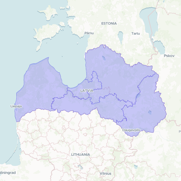
Official NUTS 3 (Nomenclature of Territorial Units for Statistics) administrative boundaries for Latvia, version 2026. This dataset provides the geographic extents and standardized codes for the five statistical regions of Latvia, used for regional policy, economic analysis, and census reporting.
Showing 5 of 5 rows — open the Table tab for the full, sortable dataset.
We use cookies to improve your experience. Read our privacy policy.