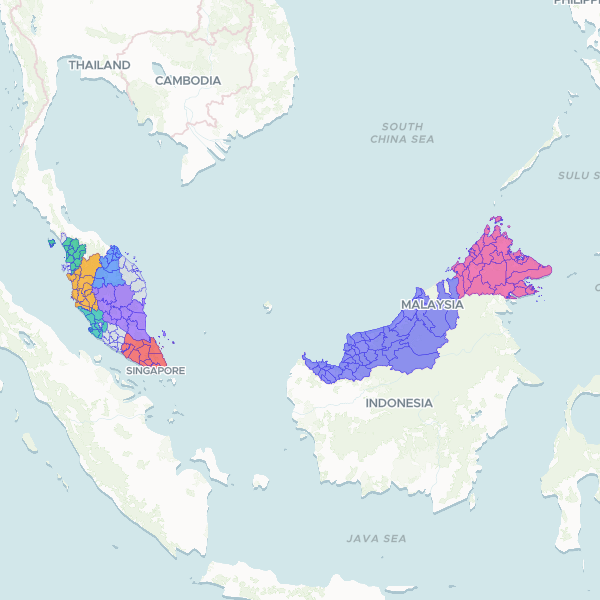
Official administrative boundaries for Malaysian districts (daerah) as of 2020. This dataset provides the geographic polygons for 160 districts, including their parent states and official administrative codes, prepared for the Community Library.
Showing 10 of 160 rows — open the Table tab for the full, sortable dataset.
We use cookies to improve your experience. Read our privacy policy.