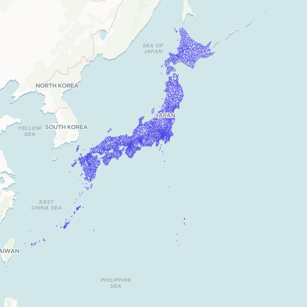
Municipalities and designated-city wards (市区町村) (Japan, 2020)
Municipalities and designated-city wards (市区町村) of the Japan, 2020. The 1,896 municipalities of Japan's 2020 Population Census: cities, towns, villages and Tokyo's special wards, with each designated city (政令指定都市) split into its wards and no city-total unit, exactly as the census reports them. Join on muni_code, the 5-digit local government code (JIS X 0402, without check digit) as text; pref_code and pref_name give the parent prefecture. Built by dissolving e-Stat's official 2020 census small-area boundaries on their own municipality code. Takeshima and the Northern Territories are not depicted (Japan's claims over territory another state administers are left out); the Senkaku Islands are included in Okinawa. Municipalities within a prefecture do not overlap, but e-Stat's prefecture lines are not edge-matched: municipalities either side of a prefecture border can overlap or leave gaps, each under 1 km2. Census-water units such as port and bay waters are included. Official e-Stat geography, e-Stat Terms of Use (CC BY 4.0 compatible).
1,896 features