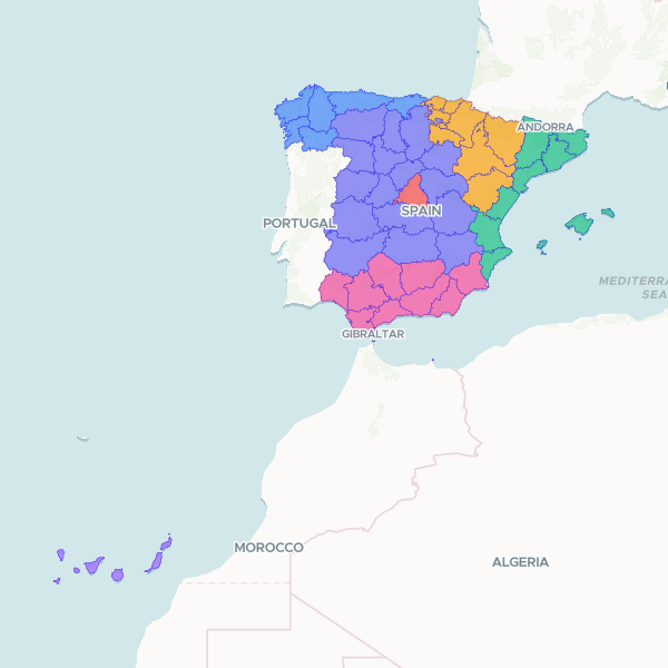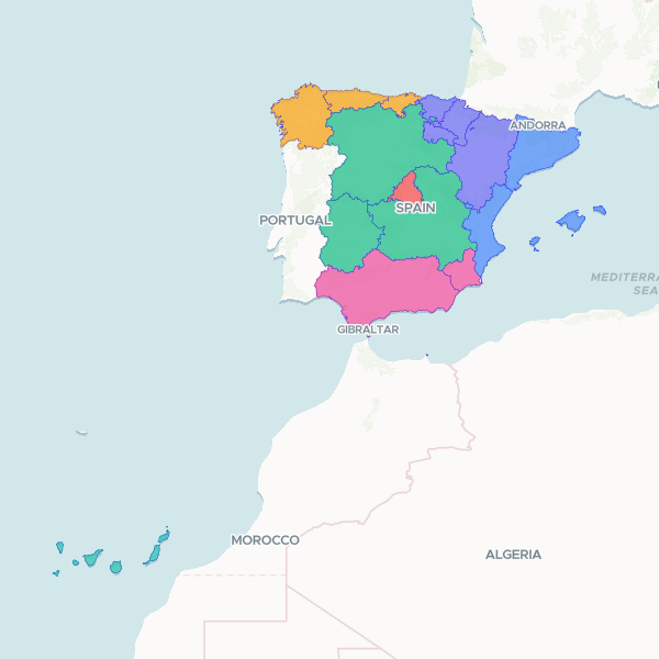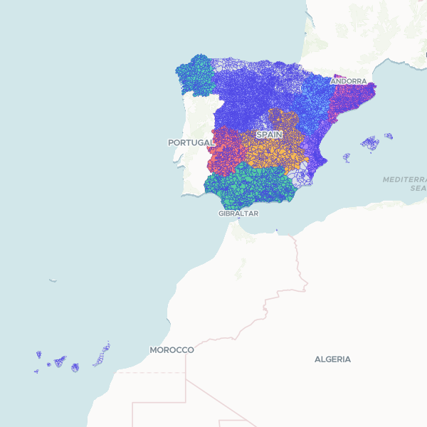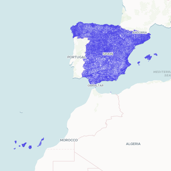
Census Sections (Secciones Censales) (Spain, 2021)
Census sections (secciones censales) of Spain at 1 January 2021 — SECC_CE_20210101, the smallest official statistical geography and the one the Censos de Población y Viviendas 2021 results are tabulated on. 36,333 units, national: peninsula, Balearics, Canaries, Ceuta and Melilla. CUSEC is the 10-char join key, composed CPRO(2)+CMUN(3)+CDIS(2)+CSEC(3), leading zeros preserved as a string, 36,333 distinct, 0 nulls. Set-identical BOTH DIRECTIONS against the INE Censos 2021 sección code set (C2021_Indicadores.csv, cross-checked against the SDC21 API's ID_RESIDENCIA_N5): zero census-only, zero boundary-only. CUMUN/CUDIS carry the parent municipality and district; NMUN/NPRO the municipality and province names. Source CRS EPSG:25830 (ETRS89/UTM30N), reprojected to WGS84; source .shp is 110 MB so prepared via GeoParquet interchange with 0.0001-degree simplify. 12 geometries are invalid in INE's SOURCE shapefile — verified there directly, not introduced by our simplify — and were repaired by the produce path. No slivers: nothing below 0.01 Polsby-Popper compactness and nothing below 1,000 m2. LICENCE NOTE: this is INE, NOT the IGN/CNIG LILIM source behind the published ccaa/provincia/municipio grains — a collection carrying both is decision 0086's two-licensed-sources situation. INE prescribes the attribution wording: 'Elaboración propia con datos extraídos del sitio web del INE: www.ine.es', plus the last-update date of the reused information. Operator note: state/seeds/ES.json types[3]; prepared 2026-09-15 during statistics run ine-cpv2021-r01.
36,333 features