7 free datasets tagged “socio economic”. Open any one in Mapstack — no GIS skills, no download.
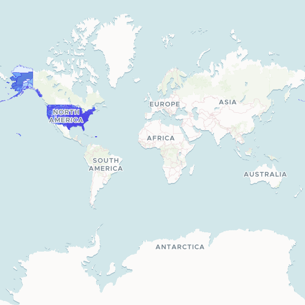
US County Poverty and Education
A comprehensive dataset of socioeconomic indicators across US counties, featuring poverty rates, unemployment figures, and educational attainment levels from the 2023 American Community Survey.
3,222 features
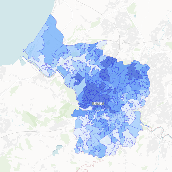
Full-time student concentration in Bristol by LSOA
Full-time students as a proportion of total population at LSOA level in Bristol.
268 features
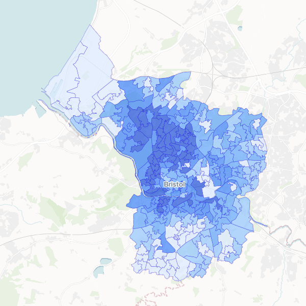
Bristol Higher managerial and professional occupations by LSOA
Higher managerial, administrative and professional occupations (NS-SEC L1, L2, L3) as a share of all usual residents aged 16+ by LSOA.
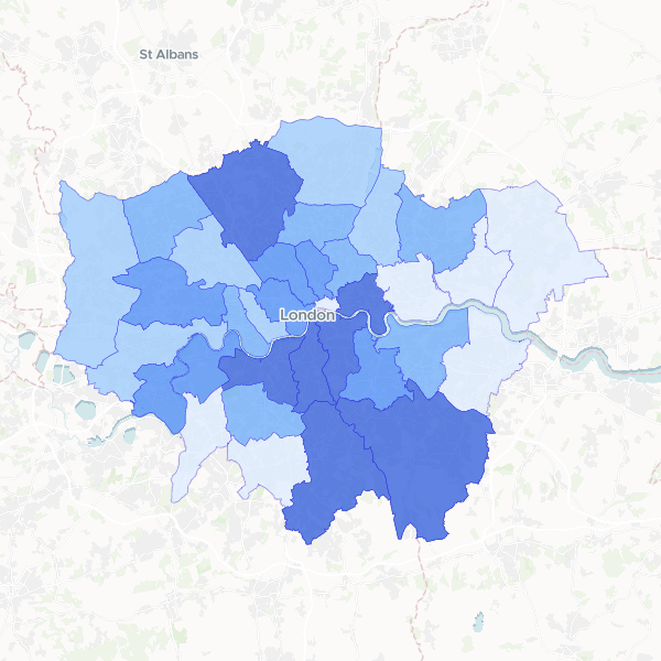
London residents in higher managerial or professional occupations by LAD
Share of usual residents aged 16+ in NS-SEC L1, L2 and L3 (higher managerial, administrative, and professional occupations) versus total residents aged 16+.
33 features
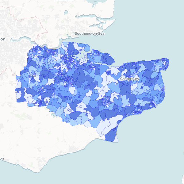
NS-SeC by Kent LSOA
Socio-economic status (NS-SeC) breakdown by LSOA for Kent, using 2021 Census data. Contains counts for all occupational categories and the total residents aged 16+. Full-count data.
1,105 features
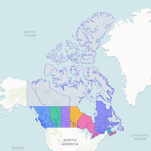
Economic Regions of Canada
Geographic boundaries and identifiers for Canadian Economic Regions (ER), including provincial associations and spatial geometry for mapping.
76 features
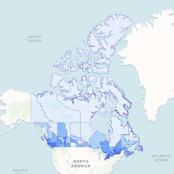
Canada Manufacturing sector employment by Economic Region
Manufacturing sector employment by Economic Region, 2021 Census. Normalize `Manufacturing` using `Total Labour Force Aged 15 Years And Over` to compute the sector's employment share. This dataset is a 25% sample survey.