Small Areas (町丁・字等) (Japan, 2020)
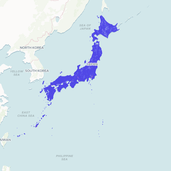
Small Areas (町丁・字等) of the Japan, 2020. The 220,851 small areas (町丁・字等, chō-chōme and aza) of Japan's 2020 Population Census, the finest geography the census publishes for the whole country. Join on area_code: 11 characters as text, the 5-digit municipality code (muni_code, with designated cities as their wards) followed by the 6-digit small-area code. key_code is e-Stat's own link code to its statistical tables; it is not unique and not fixed-width, so it is kept for reference but is not the join key. pref_code/pref_name and muni_code/muni_name give the parents; 253 units have no published name. Census-water units such as port and bay waters (hcode 8154) are included. Takeshima and the Northern Territories are not depicted (Japan's claims over territory another state administers are left out); the Senkaku Islands are included in Okinawa. e-Stat's prefecture lines are not edge-matched: small areas either side of a prefecture border can overlap or leave gaps, each under 1 km2. Official e-Stat geography, e-Stat Terms of Use (CC BY 4.0 compatible).
220,851 features