3 free datasets tagged “slovenia”. Open any one in Mapstack — no GIS skills, no download.
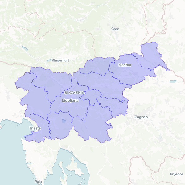
Statistical Regions (Statistične regije) (Slovenia, 2024)
Statistical Regions (Statistične regije) of the Slovenia, 2024. The 12 statistical regions — Slovenia's de-facto regional / NUTS3 tier (no elected regions). SR_ID = RPE id (string, unique, 0 nulls); SR_UIME the name. Reprojected locally 3794→4326. GeoParquet + 0.001° simplify.
12 features
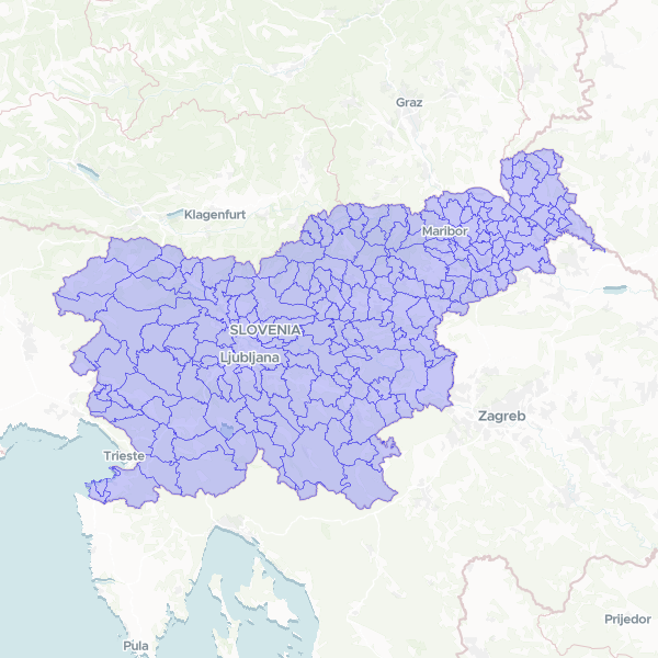
Municipalities (Občine) (Slovenia, 2024)
Municipalities (Občine) of the Slovenia, 2024. ADM1/LAU2, the primary join level. 212 municipalities (stable since 2015). OB_ID = RPE id (string, unique, 0 nulls; zero-pad→3 for SURS SIFKO); OB_UIME the unique name. Reprojected locally 3794→4326. GeoParquet + 0.0005° simplify.
212 features
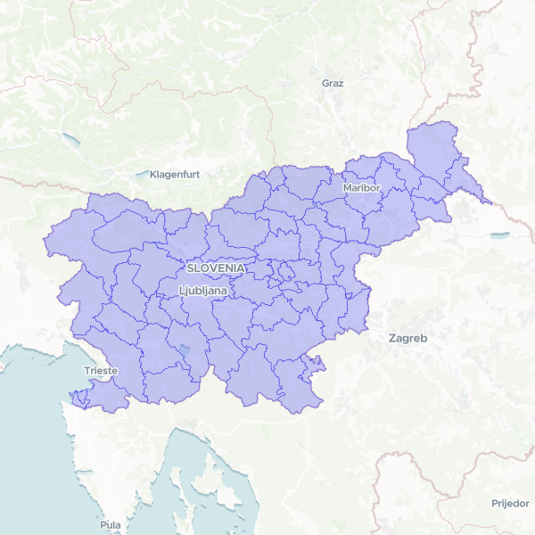
Administrative Units (Upravne enote) (Slovenia, 2024)
Administrative Units (Upravne enote) of the Slovenia, 2024. The 58 state administrative units (upravne enote — deconcentrated state administration). UE_ID = RPE id (string, unique, 0 nulls); UE_UIME the name. Reprojected locally 3794→4326. GeoParquet + 0.0007° simplify.
58 features