5 free datasets tagged “slovakia”. Open any one in Mapstack — no GIS skills, no download.
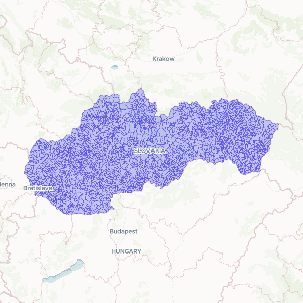
Municipalities (Obce) (Slovakia, 2025)
Municipalities (Obce) of the Slovakia, 2025. ADM3 = LAU2, the primary join level. 2,927 municipalities. IDN4 = ZBGIS/Slovak municipality code (string, 6-digit e.g. '500011', unique, 0 nulls); NM4 the name; LAU2_CODE ('SK0233500011') the EU code. GeoParquet + 0.0002° simplify.
2,927 features
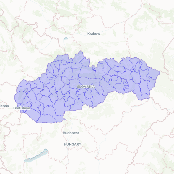
Districts (Okresy) (Slovakia, 2025)
Districts (Okresy) of the Slovakia, 2025. ADM2 = LAU1. 79 districts. IDN3 = ZBGIS district id (string, unique, 0 nulls); NM3 the name; LAU1_CODE ('SK0101') the EU code. GeoParquet + 0.0005° simplify.
79 features
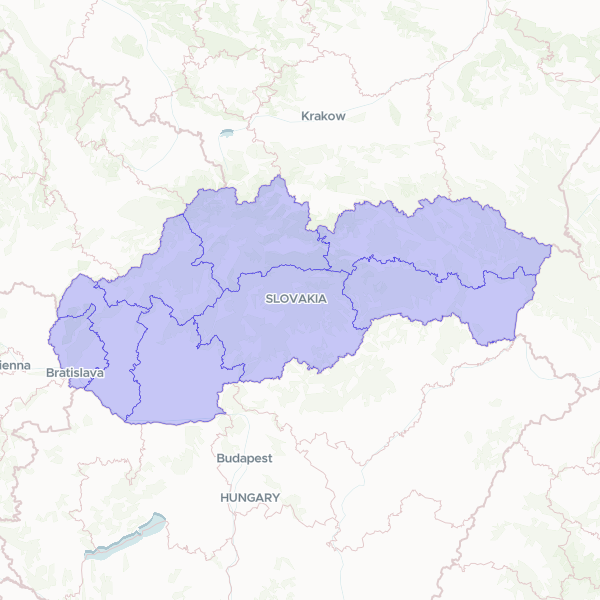
Regions (Kraje) (Slovakia, 2025)
Regions (Kraje) of the Slovakia, 2025. ADM1. The 8 self-governing regions (= Slovakia's NUTS3). IDN2 = ZBGIS region id (string 1–8, unique, 0 nulls); NM2 the name; NUTS3_CODE (SK0x0) for Eurostat cross-join. GeoParquet + 0.001° simplify.
8 features
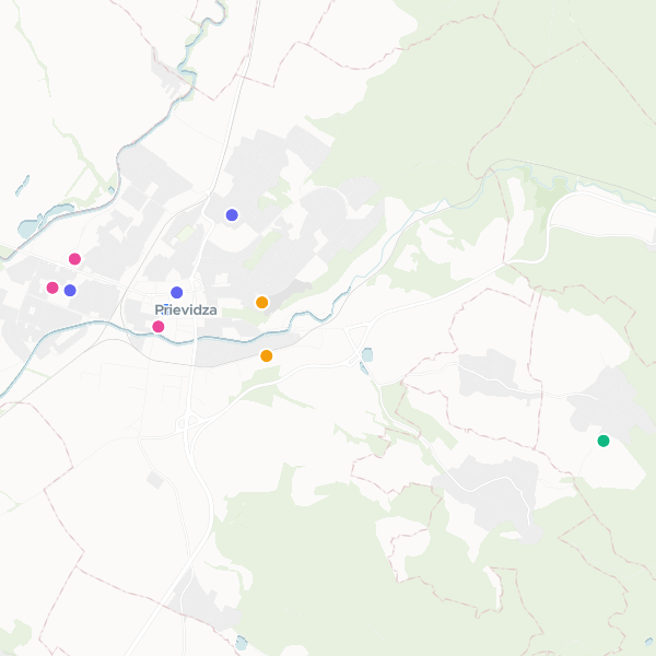
Prievidza Landmarks and Services
Core landmarks, cultural sites, and civic services in Prievidza.
10 features
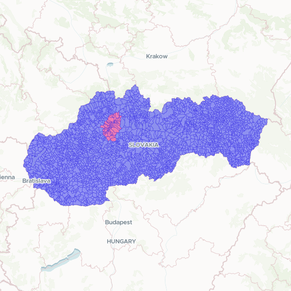
Slovak Municipalities and Turiec Region
Administrative boundaries for municipalities across Slovakia, featuring a specific indicator for the Turiec region. The dataset includes official municipality names, national identification codes, and LAU2 statistical codes for regional analysis.