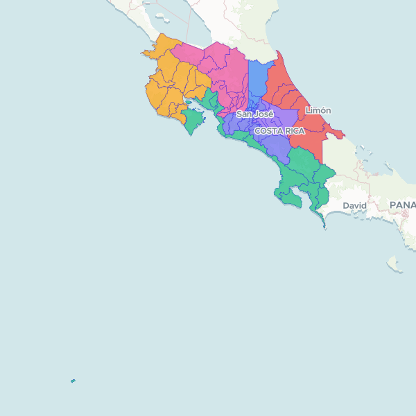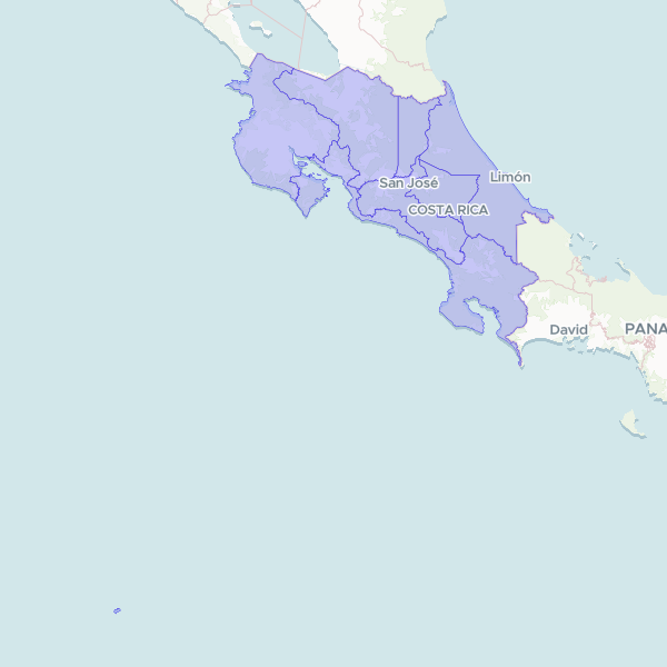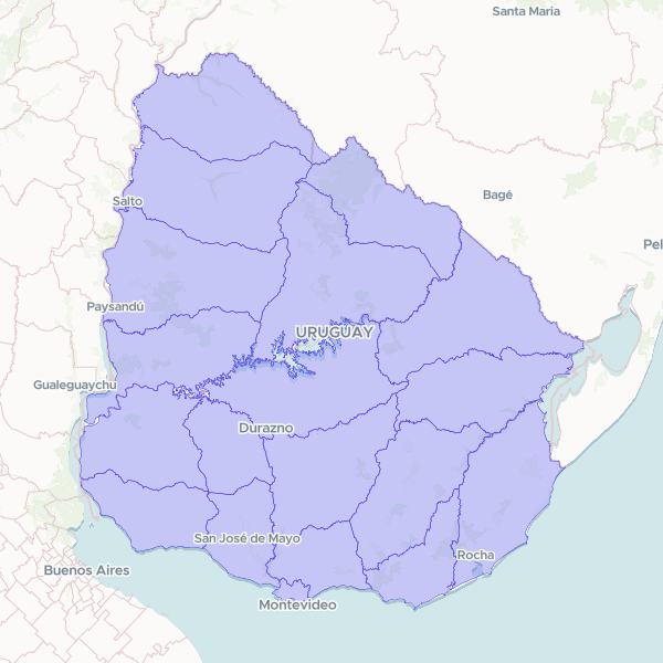
Departments (Departamentos) (Uruguay, 2019)
OPERATOR NOTE. Uruguay ADM1, the 19 departamentos. Source: 'Limites Departamentales', an official product of the Servicio Geografico Militar (SGM) republished by IDE Uruguay on catalogodatos.gub.uy under the SALB standard at 1:50,000, v1.0 (created 2019-06-24, portal record last updated 2020-07-30); shapefile internal dates 2019-06-21. ACQUISITION: every .gub.uy / .ide.uy / impo.com.uy host TCP-timed-out from this vantage (DNS resolves to ANTEL 179.27.x.x) - a geo-fence, re-probed in curl AND a real browser. Canonical bytes obtained via the Internet Archive: LimitesDepartamentales_SHP.zip capture 20220831044812 (3,545,555 B, zip integrity OK). The sibling GeoJSON capture 20240722181442 was TRUNCATED at exactly 1 MiB and discarded. GEOMETRY TRANSFORM: the official product ships boundary LINES (19 LineString/MultiLineString), not polygons, so it is unusable for choropleth joins as distributed. 16/19 rings were already closed; Rocha (20 m), Durazno (7 m) and Montevideo (1 m) had sub-pixel digitising gaps at 1:50,000 which were closed, then each ring was built into a polygon. VALIDATION: computed land area 174,588 km2 vs 175,015 km2 official national land area (0.24% delta); every department within +1.8%/-2.8% of its published area. Artigas and Cerro Largo emerged from GDAL MakeValid as GeometryCollections (polygon + zero-area degenerate line); CollectionExtract kept polygonal parts only, area delta exactly 0.000e+00, then rewound to RFC7946 last. produce returned fixes: [] on both dev and prod. REJECTED ALTERNATIVES: geoBoundaries URY ADM1 (ODbL / OSM-derived, vintage 2017) declined under the share-alike last-resort gate, decision 0012, because this licence-clean official source exists; HDX COD-AB URY (cc-by-igo) declined because its dataset_source is www.gadm.org, whose upstream terms forbid commercial redistribution, so the CC BY-IGO relabel does not safely establish rights (deal breaker 2); UN SALB portal publishes no Uruguay dataset. NAME ORTHOGRAPHY CAVEAT: admlnm values are unaccented ASCII and inconsistently cased ('Tacuarembo', 'Paysandu', 'Rio Negro', 'San Jose', 'Treinta y tres'); user tables with proper Spanish orthography rely on the runtime's own normalisation. No derived name column was invented. UNRESOLVED INCUMBENT: prod dataset W5xV9fOsch9i 'Uruguay Departments' covers the same geography but was published with an EMPTY S3 prefix (no parquet/pmtiles/metadata; thumbnail 403 against 200 controls) and renders 'This dataset has no viewable files'. It has no cm_ catalogue entry and is absent from list_pending, so it cannot be passed as replace_catalog_id and cannot be retracted via reject - it needs an app-side removal. Publishing beside it was an explicit operator decision, not an unresolved duplicate check.
19 features