10 free datasets tagged “lsoa”. Open any one in Mapstack — no GIS skills, no download.
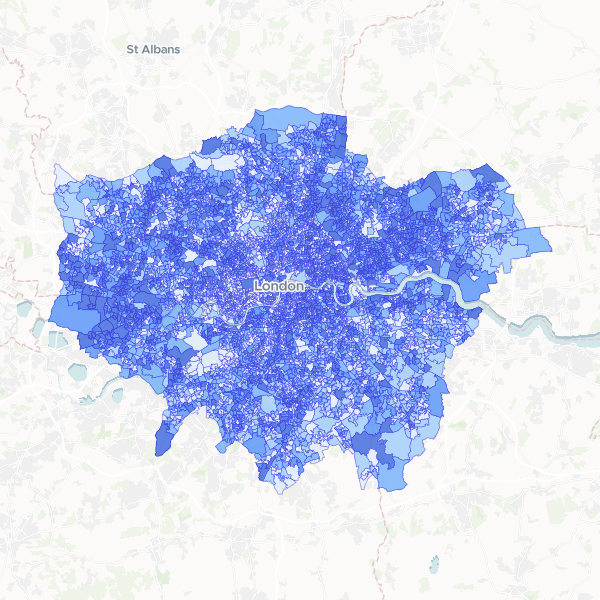
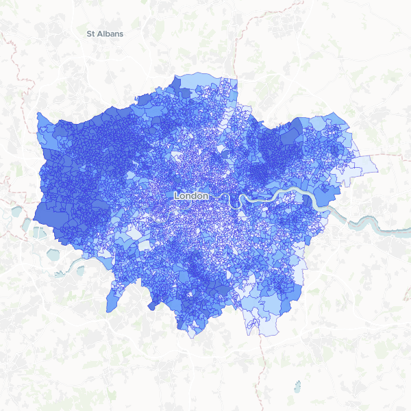
London Population by LSOA
Total usual residents at LSOA level in London.
4,995 features
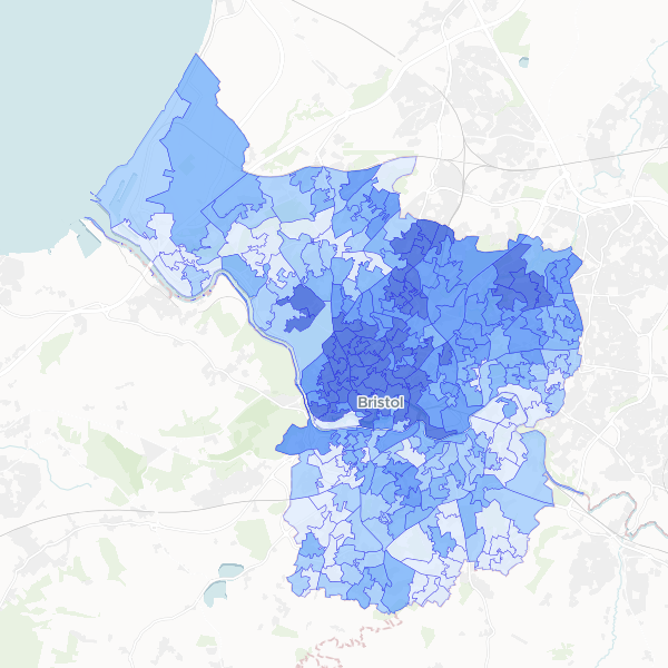
Full-time student concentration in Bristol by LSOA
Full-time students as a proportion of total population at LSOA level in Bristol.
268 features
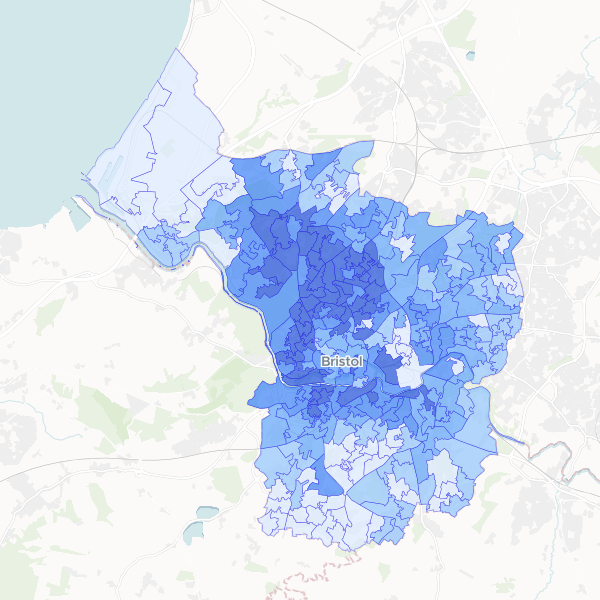
Bristol Higher managerial and professional occupations by LSOA
Higher managerial, administrative and professional occupations (NS-SEC L1, L2, L3) as a share of all usual residents aged 16+ by LSOA.
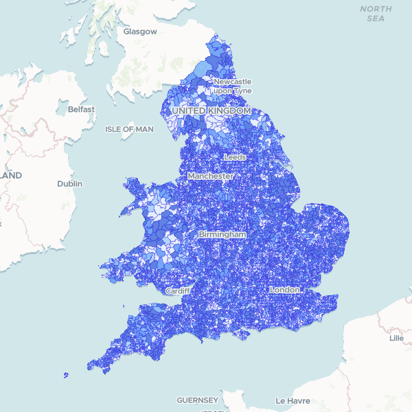
England and Wales population by LSOA
Census 2021 full-count population total by Lower layer Super Output Area (LSOA). Note: Coverage is restricted to England and Wales.
35,672 features
London Indian Population by LSOA
Indian ethnic group population (Asian, Asian British or Asian Welsh: Indian) and Total Usual Residents from the 2021 Census. This dataset contains only the Indian ethnic group population; other ethnic groups are excluded from this dataset.
4,997 features
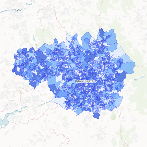
Deprivation by LSOA in Greater Manchester
Households by number of deprivation dimensions in Greater Manchester. Deprivation is defined based on four dimensions: employment, education, health and disability, and housing. Normalise using Total Households to compute the proportion of households in each deprivation category.
1,702 features
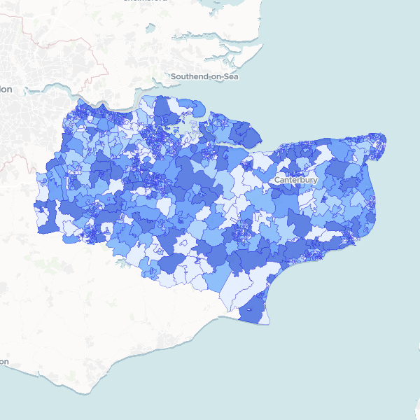
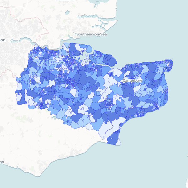
Kent population by LSOA
Total Usual Residents from the 2021 Census, published at Lower layer Super Output Area (LSOA) level. This dataset provides the population count per LSOA for Kent. Density can be calculated by dividing these counts by the LSOA area.
1,105 features
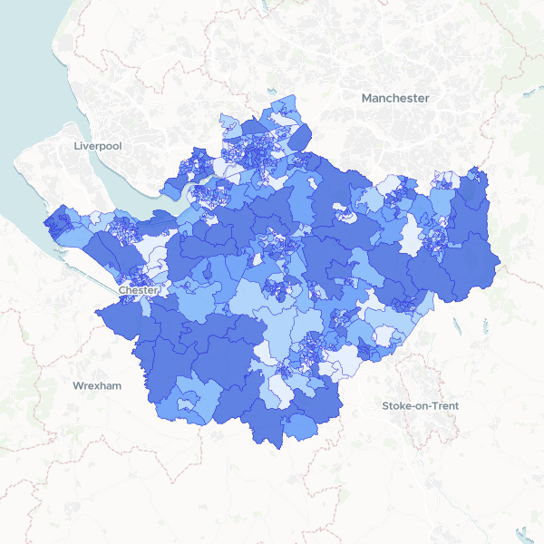
Household deprivation in Cheshire by LSOA
Households by number of deprivation dimensions in Cheshire (Census 2021, full count). Includes total households and number of households deprived in zero, one, two, three, or four dimensions, used here as a proxy for affluence.
678 features
NS-SeC by Kent LSOA
Socio-economic status (NS-SeC) breakdown by LSOA for Kent, using 2021 Census data. Contains counts for all occupational categories and the total residents aged 16+. Full-count data.
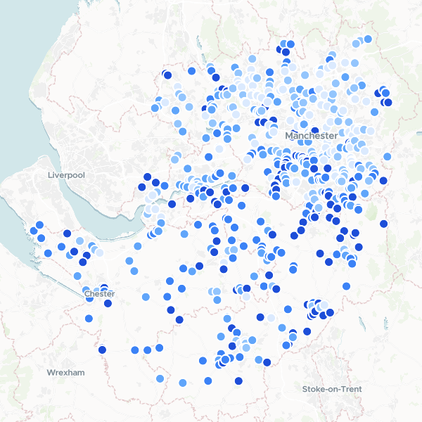
Garden Centres in Manchester and Cheshire by Affluence
A ranked list of garden centres and florists across Greater Manchester and Cheshire, enriched with local affluence data. The dataset combines business locations with census-based household deprivation statistics to identify retail sites in high-income areas.
627 features