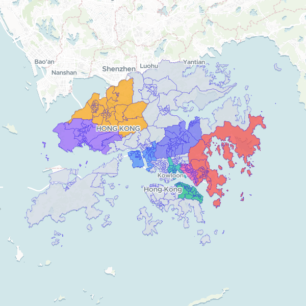
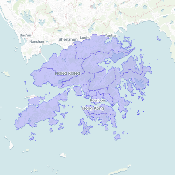
6 free datasets tagged “hong kong”. Open any one in Mapstack — no GIS skills, no download.
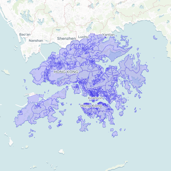
Small subunit groups (Hong Kong, 2021)
Small subunit groups of the Hong Kong, 2021. C&SD's 2,342 Small Subunit Groups of the 2021 Population Census: groups of Tertiary Planning Unit subunits, land only. Keyed on C&SD's group code (ssbg).
2,342 features
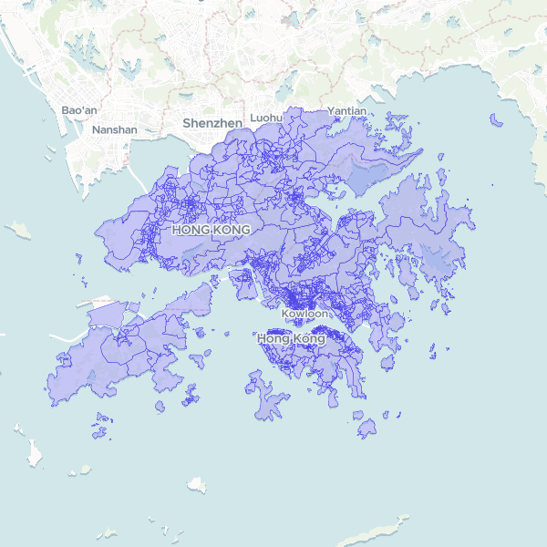
Large subunit groups (Hong Kong, 2021)
Large subunit groups of the Hong Kong, 2021. C&SD's 1,746 Large Subunit Groups of the 2021 Population Census: groups of Tertiary Planning Unit subunits, land only. Keyed on C&SD's group code (lsbg).
1,746 features
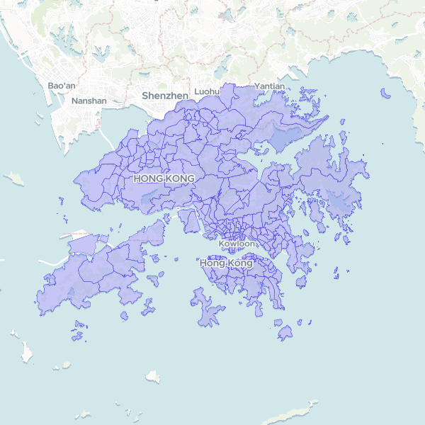
Small Tertiary Planning Unit groups (Hong Kong, 2021)
Small Tertiary Planning Unit groups of the Hong Kong, 2021. C&SD's 211 Small Tertiary Planning Unit Groups of the 2021 Population Census: groups of the Planning Department's Tertiary Planning Units, land only. Keyed on C&SD's group code (stpug).
211 features
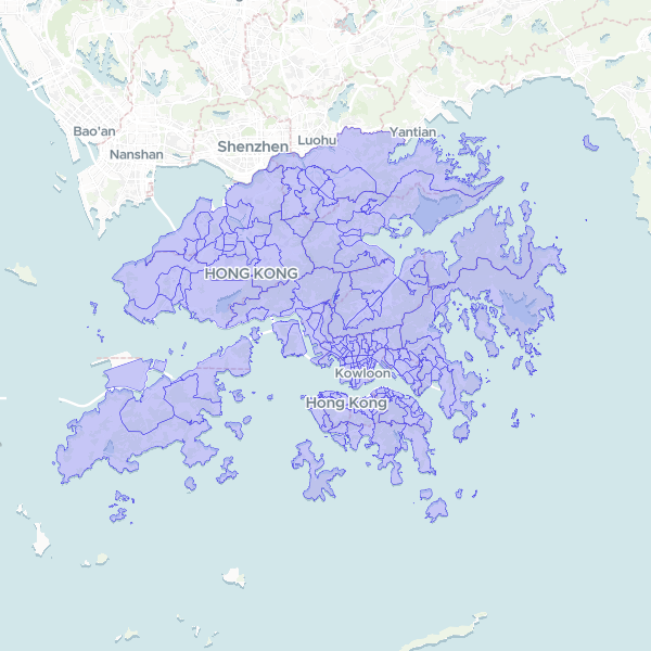
Large Tertiary Planning Unit groups (Hong Kong, 2021)
Large Tertiary Planning Unit groups of the Hong Kong, 2021. C&SD's 159 Large Tertiary Planning Unit Groups of the 2021 Population Census: groups of the Planning Department's Tertiary Planning Units, land only. Keyed on C&SD's group code (ltpug).
159 features
District Council constituency areas (Hong Kong, 2019)
District Council constituency areas of the Hong Kong, 2019. The 452 District Council constituency areas of the 2019 election, on which the 2021 Population Census is tabulated, land only, from C&SD. Not the 44 geographical constituencies drawn for 2023. Keyed on the electoral code (dcca_class, e.g. A01).
452 features
District Council districts (Hong Kong, 2021)
District Council districts of the Hong Kong, 2021. The 18 District Council districts as tabulated by the 2021 Population Census, land only, from the Census and Statistics Department (C&SD). Keyed on the district letter (dc_class, A-T) used across the HKSAR Government.
18 features