4 free datasets tagged “dwellings”. Open any one in Mapstack — no GIS skills, no download.
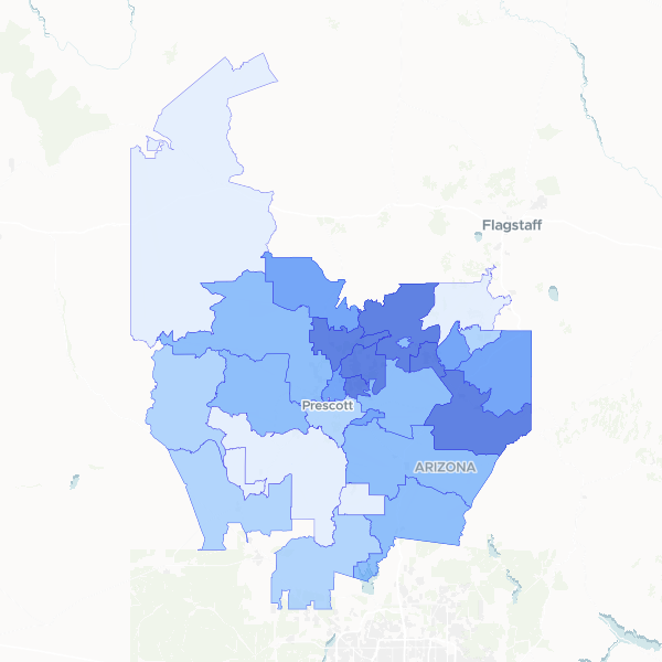
Yavapai County housing occupancy
Housing occupancy and vacancy statistics across Yavapai County, Arizona, aggregated by ZIP code. This dataset includes total housing unit counts, occupied and vacant unit breakdowns, and calculated occupancy rates to identify residential density and housing availability.
28 features
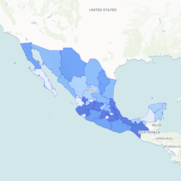
Mexico Youth Population (0-14) by State
The youth population aged 0 to 14 years and the total population living in private dwellings in Mexico by state. These figures are estimates from the 2025 Intercensal Survey. The dataset includes a denominator (Total Population) for normalization. Sibling completeness is satisfied: the table contains the 0-14 population as a subset of the total population. Population margins of error are available in the collection but not included in this dataset.
32 features
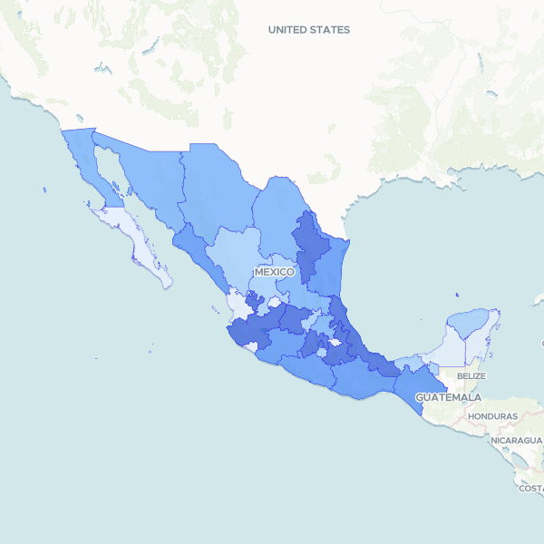
Mexico population 65+ by state
Population aged 65 and over in private dwellings by state, Mexico. Normalise using Population In Private Dwellings. Survey estimates.
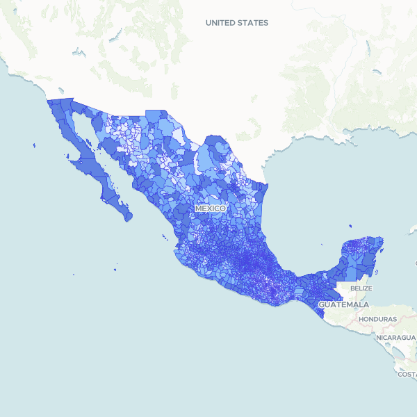
Mexico population by municipality
Total population in private inhabited dwellings by Mexican municipality, from the 2025 Intercensal Survey (sample survey).
2,478 features