12 free datasets tagged “counties”. Open any one in Mapstack — no GIS skills, no download.
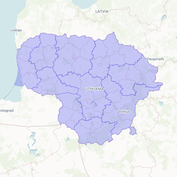
Counties (Apskritys) (Lithuania, 2026-07)
Counties (Apskritys) of the Lithuania, 2026-07. ADM1. 10 counties. nationalcode = national code (string '1'..'10', treat as text, unique, 0 nulls); text the name. GeoParquet + 0.001° simplify.
10 features
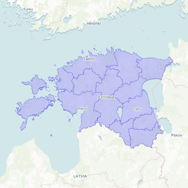
Counties (Maakonnad) (Estonia, 2026-07)
Counties (Maakonnad) of the Estonia, 2026-07. ADM1. 15 counties. MKOOD = 4-digit EHAK code (string, leading zeros, unique, 0 nulls); MNIMI the name. Source native EPSG:3301, reprojected locally to 4326. GeoParquet + 0.001° simplify.
15 features
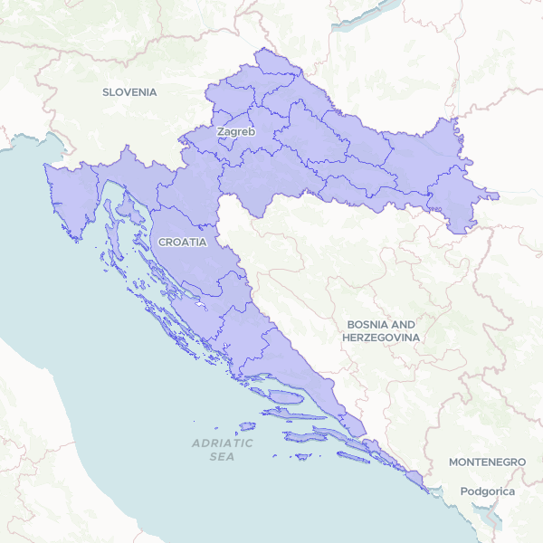
Counties (Županije) (Croatia, 2026)
Counties (Županije) of the Croatia, 2026. ADM1. 21 counties incl. Grad Zagreb. maticni_broj = 2-digit national code (string, unique, 0 nulls); naziv the name. GeoParquet + 0.001° simplify.
21 features
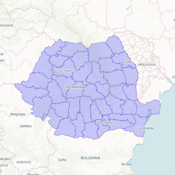
Counties (Județe) (Romania, 2014)
Counties (Județe) of the Romania, 2014. ADM1. 41 județe + Municipiul București = 42, stable since 1981. natCode = SIRUTA county code with check digit ('10' Alba, '403' București) — string, no leading zeros. Names uppercase ASCII without diacritics; join on natCode.
42 features
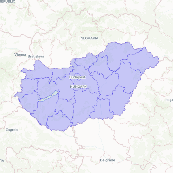
Counties + Budapest (Vármegyék/főváros) (Hungary, 2019)
Counties + Budapest (Vármegyék/főváros) of the Hungary, 2019. NUTS3 / ADM1. 19 vármegye + Budapest = 20. Join key shn (national hierarchical code, e.g. HU51200000000 Nógrád); namn the name (Nógrád); label the full label (Nógrád Vármegye). desn='Vármegye'.
20 features
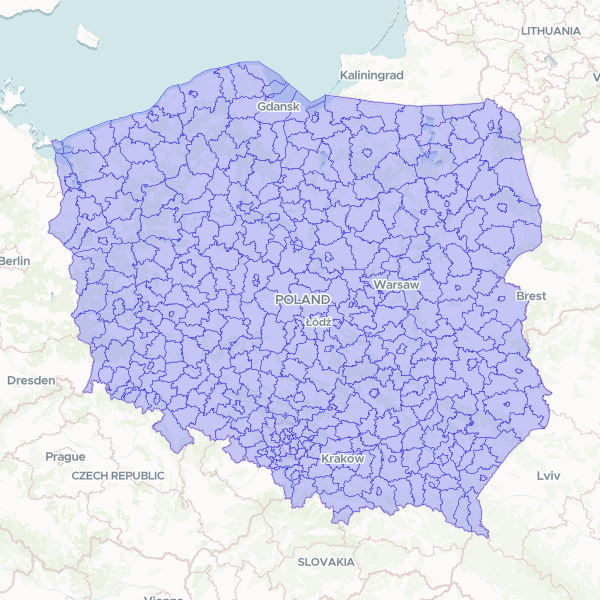
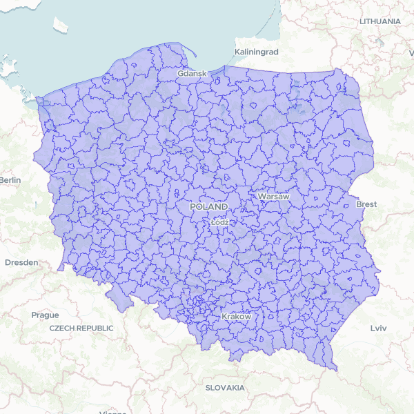
Counties (Powiaty) (Poland, 2025)
Counties (Powiaty) of the Poland, 2025. ADM2. 314 powiaty + 66 cities with powiat rights = 380. JPT_KOD_JE = 4-digit TERC (woj 2 + powiat 2). Names: 'powiat jędrzejowski' (land county, adjective) vs 'powiat Kalisz' (city-county, proper noun). Full-res 35MB shp → GeoParquet + 0.0005° to stay under the GeoJSON identify wall.
380 features
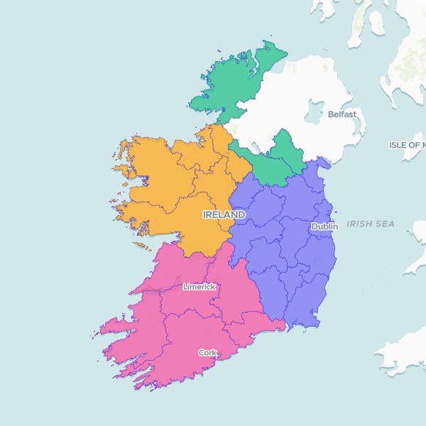
Counties (Ireland, 2019)
Counties of the Ireland, 2019. ADM1. The 26 statutory counties. CO_ID = OSi national county code (string, unique, 0 nulls); ENGLISH the name; PROVINCE the parent. Full-res coastline (66 MB) → GeoParquet + 0.001° simplify.
26 features
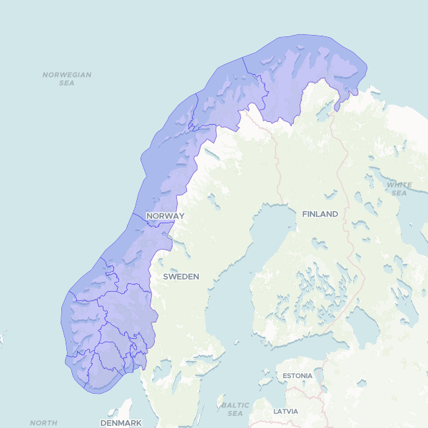
Counties (Fylker) (Norway, 2025)
Counties (Fylker) of the Norway, 2025. ADM1. 15 counties (post-2024 reversal of the 2020 merger). fylkesnummer = 2-char national code (string, leading zeros); navn the name. Source GML ACQUIRED locally (.work/seed/NO/fylke/fylke-source.gml, 15/15 verified) — produce-ready once the batch runs. Heavy coastline → GeoParquet + 0.001° simplify.
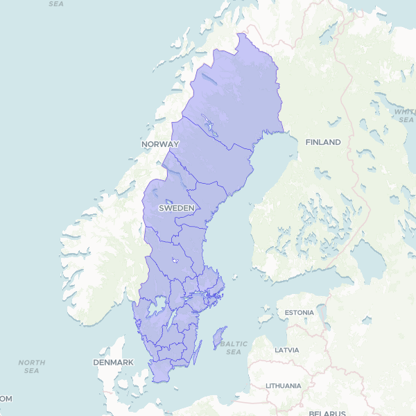
Counties (Län) (Sweden, 2026)
Counties (Län) of the Sweden, 2026. ADM1. LnKod 2-digit string ('01' Stockholm) — leading zeros are data. Inner zip LanSweref99TM.zip inside the outer bundle; layer Lan_Sweref99TM_region.
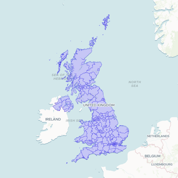
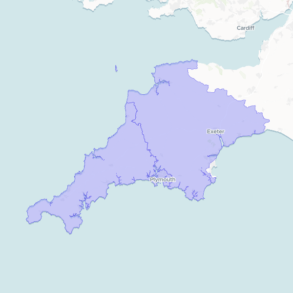
Counties and Unitary Authorities (United Kingdom, 2025)
Counties and Unitary Authorities of the United Kingdom, 2025. December 2025 boundary set; UK-wide
218 features
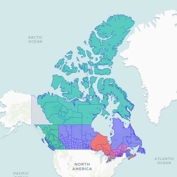
Canadian Census Divisions
Geographic boundaries and administrative identifiers for Canada's census divisions, including names, types, and provincial associations based on Statistics Canada's Standard Geographical Classification.
293 features
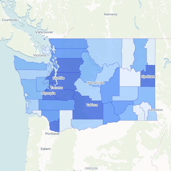
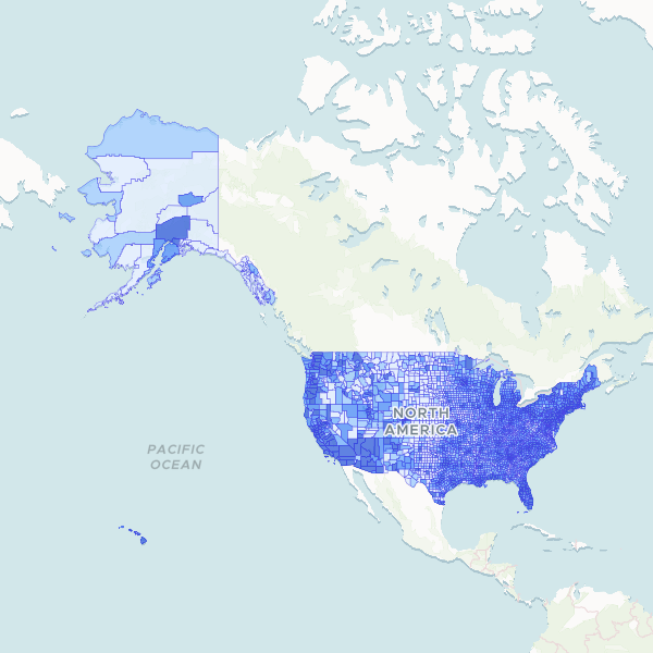
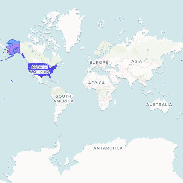
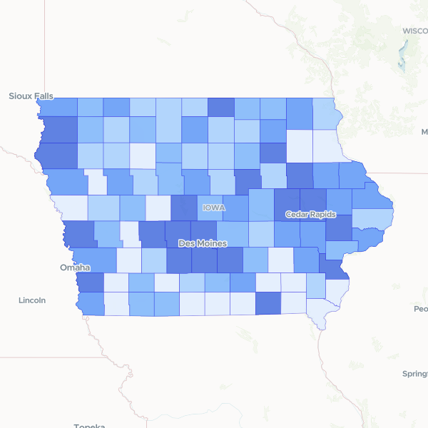
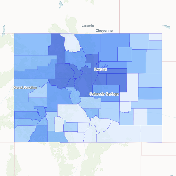
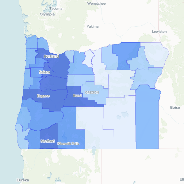
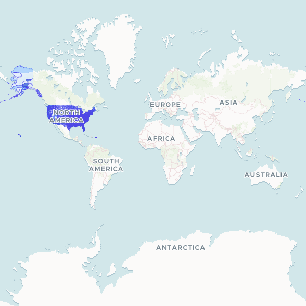
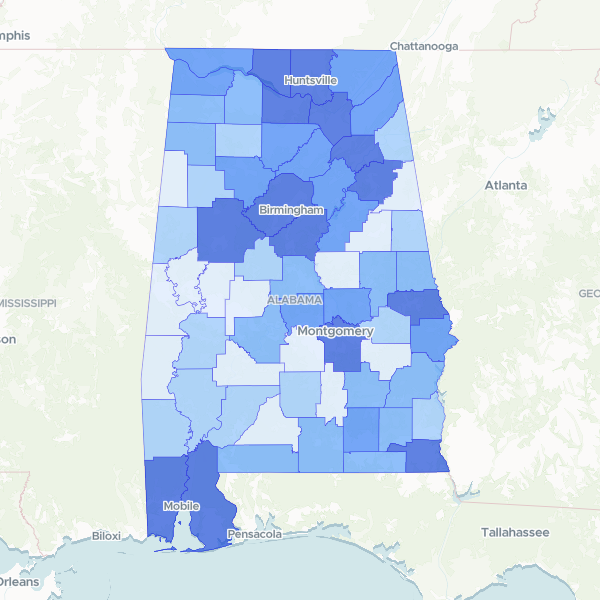
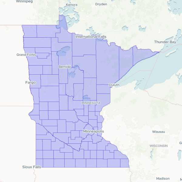
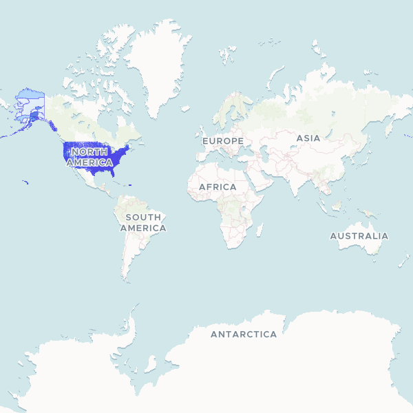
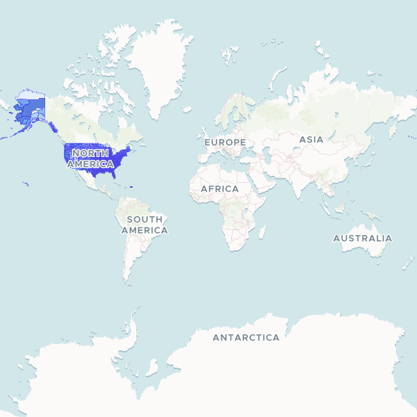
United States County Boundaries
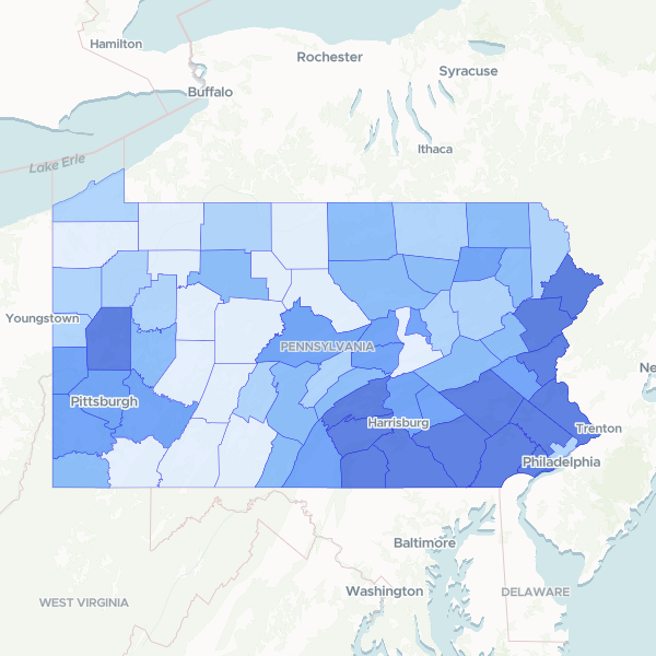
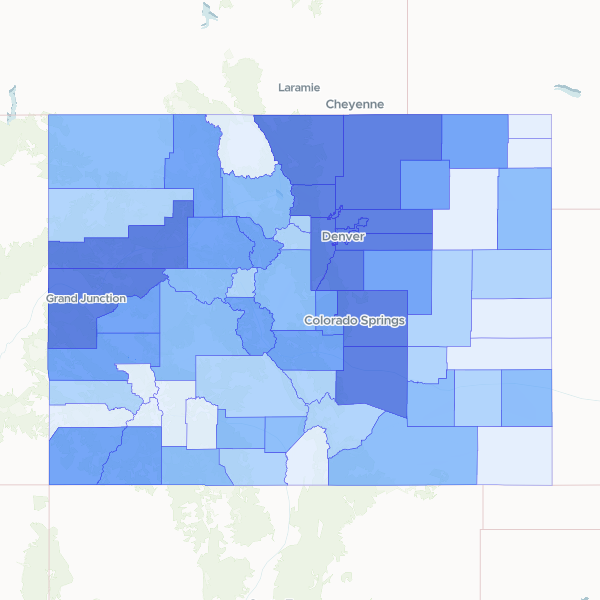
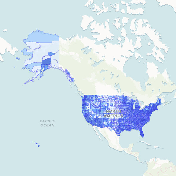
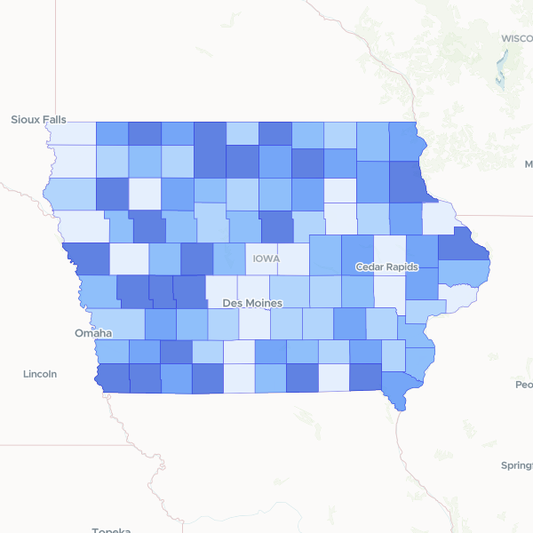
Comprehensive geographic boundaries and administrative identifiers for all 3,235 counties and equivalents in the United States, including FIPS codes, GNIS identifiers, and state associations.
3,235 features