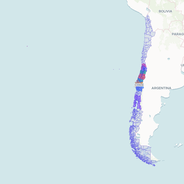
Communes (comunas) (Chile, 2024)
Communes (comunas) of the Chile, 2024. Built from INE's 2024 census cartography (the geography the Censo de Población y Vivienda 2024 was tabulated on). 345 of Chile's 346 communes; Antártica (12202) has no polygon in INE's cartography. INE's maps end at the Diego Ramírez islands; no Antarctic territory is drawn. One stretch of the Argentina–Chile border is undemarcated: the Southern Patagonian Ice Field (Campo de Hielo Patagónico Sur) between Mount Fitz Roy (Cerro Chaltén) and Cerro Daudet. It is drawn on INE's line, which is Chile's position and not an agreed international boundary. At the Chile–Peru land boundary the line is drawn from Hito 1 west along its parallel to the sea, which is Chile's position; Peru places the boundary's end at Punto Concordia, leaving a coastal triangle of about 3.7 ha in dispute. Join on cut, the Código Único Territorial as INE writes it, without a leading zero (1101, 13101); zero-padded forms such as 01101 must be unpadded first.
345 features