3 free datasets tagged “arizona”. Open any one in Mapstack — no GIS skills, no download.
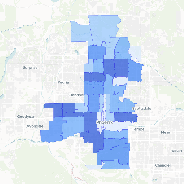
Phoenix population by ZIP code
Total population count by ZIP code (ZCTA) for Phoenix.
44 features
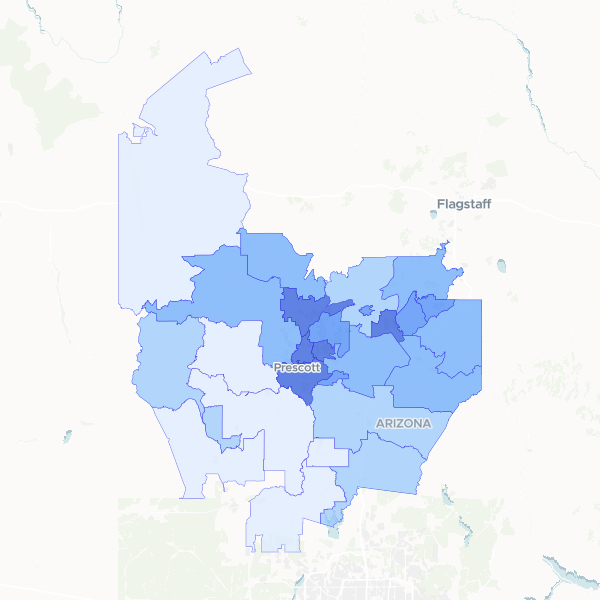
Yavapai County Population Density
A detailed look at population distribution across Yavapai County, Arizona, showing both total resident counts and density per square kilometer by ZIP code.
28 features
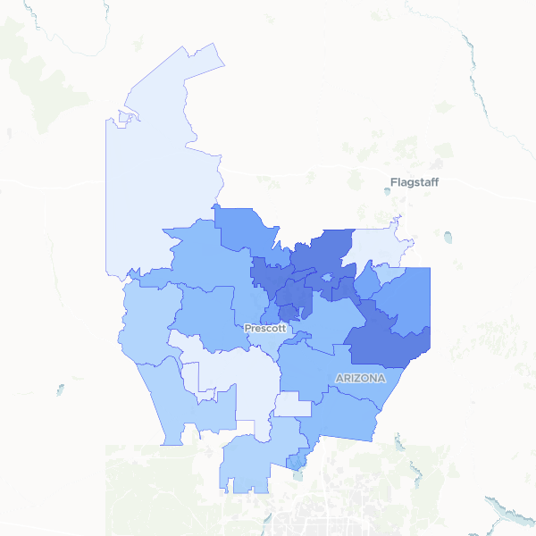
Yavapai County housing occupancy
Housing occupancy and vacancy statistics across Yavapai County, Arizona, aggregated by ZIP code. This dataset includes total housing unit counts, occupied and vacant unit breakdowns, and calculated occupancy rates to identify residential density and housing availability.