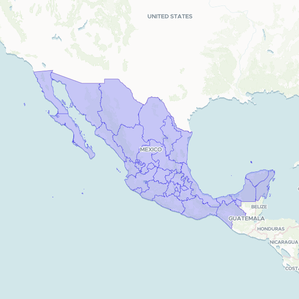
Official geographic boundaries and administrative codes for the 32 federal entities (states) of Mexico. This dataset includes official state names, shortened names, and standard INEGI state identifiers.
Official state (entidad federativa) boundaries from INEGI's Marco Geoestadistico 2024, the national geostatistical framework. Reprojected from Mexico ITRF2008 / LCC to WGS84. Full source resolution retained (no generalisation). Each feature carries the INEGI geostatistical key (CVEGEO / CVE_ENT), the official name (NOMGEO) and a short-form name (NOM_CORTO) matching the spelling used in most Mexican statistical tables.
Showing 10 of 32 rows — open the Table tab for the full, sortable dataset.
We use cookies to improve your experience. Read our privacy policy.