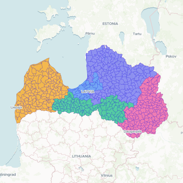
Official administrative and census boundaries for Latvia, including parishes, towns, and municipalities. The dataset provides a hierarchical structure from local units (ATVK) up to NUTS3 regions, suitable for demographic and spatial analysis.
Showing 10 of 592 rows — open the Table tab for the full, sortable dataset.
We use cookies to improve your experience. Read our privacy policy.