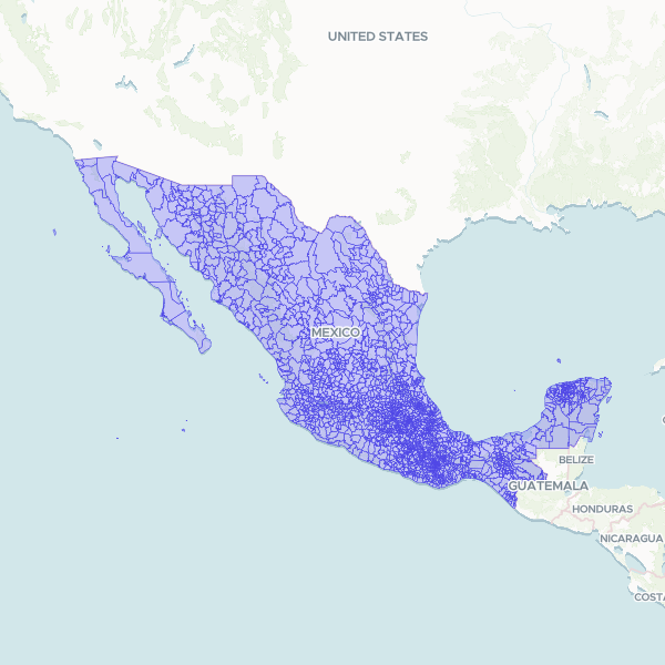
Administrative boundaries and geographic identifiers for municipalities across Mexico, including state and municipal level coding systems used by INEGI.
Official municipality (municipio) boundaries from INEGI's Marco Geoestadistico 2024, the national geostatistical framework. Reprojected from Mexico ITRF2008 / LCC to WGS84 and generalised with a topology-preserving simplifier at a 0.0005 degree (~50 m) tolerance - invisible at municipality scale, and no unit was lost or emptied. Each feature carries the INEGI geostatistical key (CVEGEO, plus CVE_ENT and CVE_MUN) and the official name (NOMGEO). Municipality names repeat across states, so CVEGEO is the reliable join key when the state is known.
Showing 10 of 2,478 rows — open the Table tab for the full, sortable dataset.
We use cookies to improve your experience. Read our privacy policy.