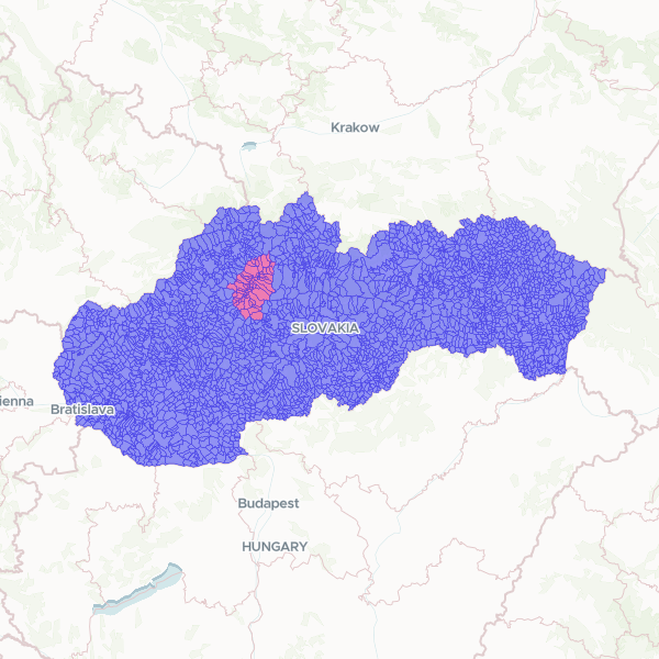
Administrative boundaries for municipalities across Slovakia, featuring a specific indicator for the Turiec region. The dataset includes official municipality names, national identification codes, and LAU2 statistical codes for regional analysis.
This dataset was created by taking official Slovak municipality boundaries and adding a flag to identify those within the Turiec region. Municipalities were classified as part of Turiec if their administrative codes corresponded to the districts of Martin or Turčianske Teplice.
Showing 10 of 2,927 rows — open the Table tab for the full, sortable dataset.
We use cookies to improve your experience. Read our privacy policy.