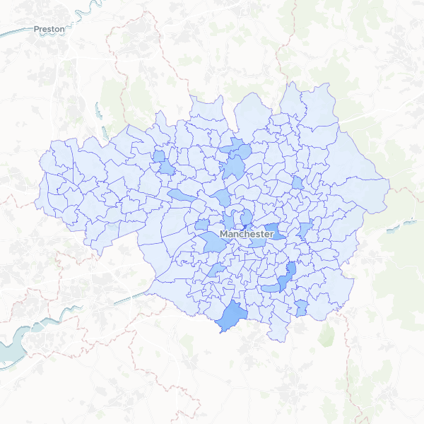
A spatial analysis showing the distribution and density of Greggs bakery outlets across electoral wards in Greater Manchester, including total population counts for demographic context.
This dataset was produced by counting individual Greggs bakery locations within the geographic boundaries of electoral wards in Greater Manchester. It combines point-based business location data with official ward polygons to show the concentration of outlets per area.
Showing 10 of 215 rows — open the Table tab for the full, sortable dataset.
We use cookies to improve your experience. Read our privacy policy.