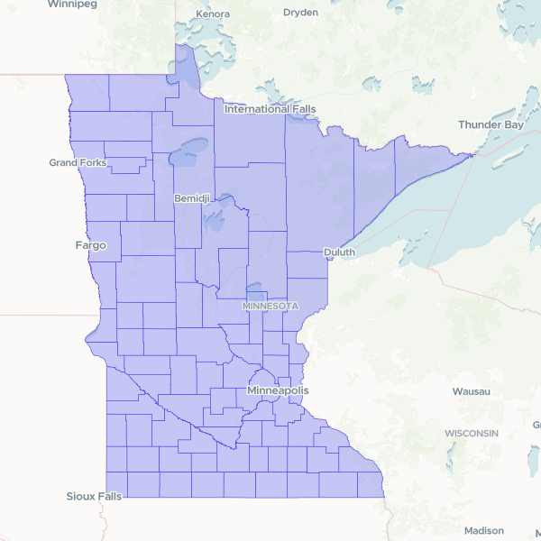
Official geographic boundaries and administrative identifiers for all 87 counties in Minnesota, including FIPS codes and legal names used for census and mapping purposes.
This dataset was created by filtering a national US counties dataset to include only records for the state of Minnesota.
Showing 10 of 87 rows — open the Table tab for the full, sortable dataset.
We use cookies to improve your experience. Read our privacy policy.