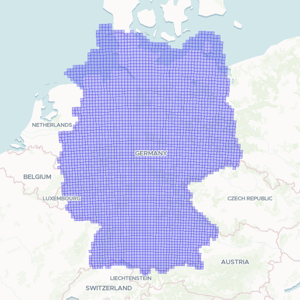
A standardized 10km statistical grid covering Germany, aligned with the INSPIRE specification and ETRS89-LAEA coordinate reference system. This dataset provides a consistent spatial framework for administrative and census data analysis, facilitating harmonized reporting across European regions.
Showing 10 of 4,044 rows — open the Table tab for the full, sortable dataset.
We use cookies to improve your experience. Read our privacy policy.