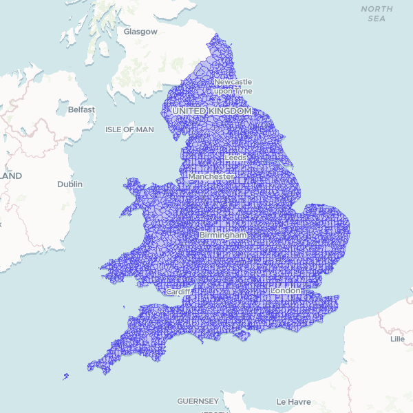
Geographic boundary dataset for the 2021 Census Output Areas (OA) in England and Wales, including parent Lower Layer Super Output Area (LSOA) names and codes.
Showing 10 of 188,875 rows — open the Table tab for the full, sortable dataset.