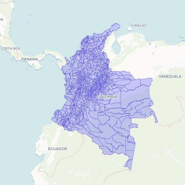
Official administrative boundaries for Colombian municipalities based on the 2018 National Geostatistical Framework (MGN) provided by DANE.
This dataset was processed from the 2018 National Geostatistical Framework (MGN) parquet files. It represents the official polygonal boundaries for all 1,122 Colombian municipalities as defined by DANE.
Showing 10 of 1,122 rows — open the Table tab for the full, sortable dataset.
We use cookies to improve your experience. Read our privacy policy.