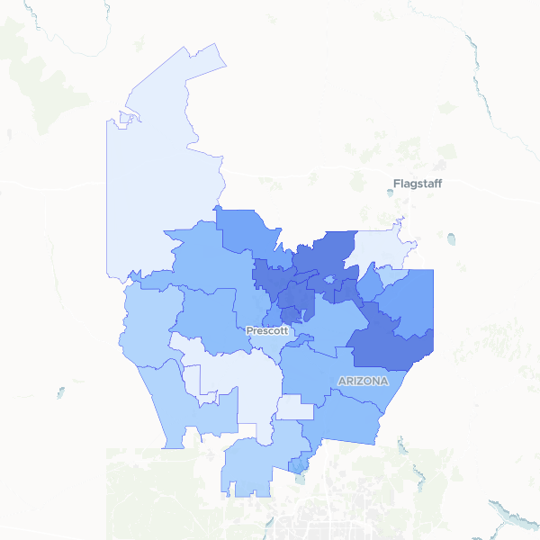
Housing occupancy and vacancy statistics across Yavapai County, Arizona, aggregated by ZIP code. This dataset includes total housing unit counts, occupied and vacant unit breakdowns, and calculated occupancy rates to identify residential density and housing availability.
Calculated the occupancy rate by dividing the number of occupied housing units by the total housing units for each ZIP code area in Yavapai County.
Showing 10 of 28 rows — open the Table tab for the full, sortable dataset.
We use cookies to improve your experience. Read our privacy policy.