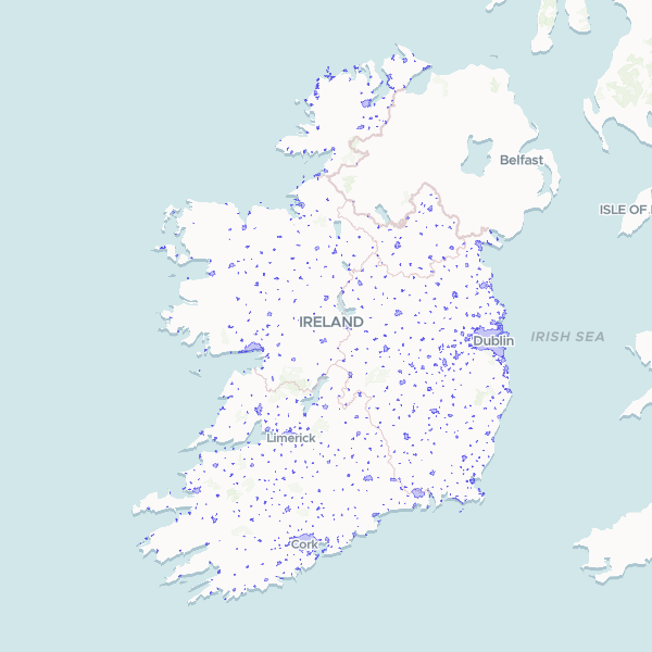
Geographic boundaries and identifiers for built-up areas across Ireland, based on 2022 Central Statistics Office (CSO) data. This dataset defines the extent of settlements and urban centers for statistical and planning purposes.
Showing 10 of 867 rows — open the Table tab for the full, sortable dataset.
We use cookies to improve your experience. Read our privacy policy.