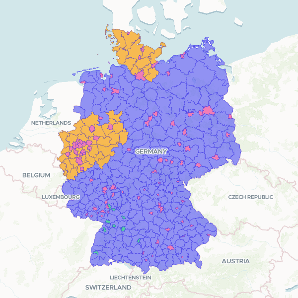
Geospatial dataset containing administrative boundaries and regional identifiers for German districts, including ARS, AGS, and NUTS codes used for official statistical reporting.
Showing 10 of 400 rows — open the Table tab for the full, sortable dataset.
We use cookies to improve your experience. Read our privacy policy.