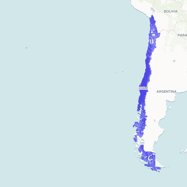
Official administrative and census boundaries for Chile, defining urban zones and rural localities for the 2024 census cycle. The dataset includes hierarchical administrative data from the commune level down to specific locality names and territorial codes.
Showing 10 of 14,647 rows — open the Table tab for the full, sortable dataset.
We use cookies to improve your experience. Read our privacy policy.