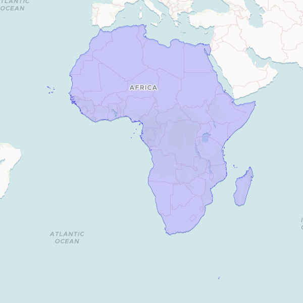
A unified geographic boundary of the African continent, created by dissolving internal administrative borders. This dataset provides a clean outline suitable for continental-scale mapping and spatial visualization.
This dataset was created by merging individual country boundaries from a global geographic dataset into a single unified shape for the African continent. This process removes internal borders to provide a clean continental outline for high-level mapping.
Showing 1 of 1 rows — open the Table tab for the full, sortable dataset.
We use cookies to improve your experience. Read our privacy policy.