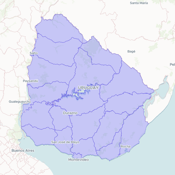
Geographic boundaries and administrative identifiers for the 19 departments of Uruguay, including official names and standardized codes.
Official departmental limits of Uruguay from the Servicio Geográfico Militar, republished by IDE Uruguay under the UN SALB standard at 1:50,000. The published product supplies the limits as boundary lines; those lines have been closed into department polygons for use as a join surface. The resulting total land area is within 0.24% of Uruguay's official figure. Major water bodies, including the Río Negro reservoir, are excluded from the land polygons, as in the source.
Showing 10 of 19 rows — open the Table tab for the full, sortable dataset.
We use cookies to improve your experience. Read our privacy policy.