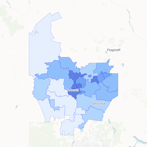
A detailed look at population distribution across Yavapai County, Arizona, showing both total resident counts and density per square kilometer by ZIP code.
This dataset was created by taking population counts from Yavapai County ZIP code data and calculating the density for each area. The density was determined by dividing the total population by the calculated land area of each ZIP code boundary.
Showing 10 of 28 rows — open the Table tab for the full, sortable dataset.
We use cookies to improve your experience. Read our privacy policy.