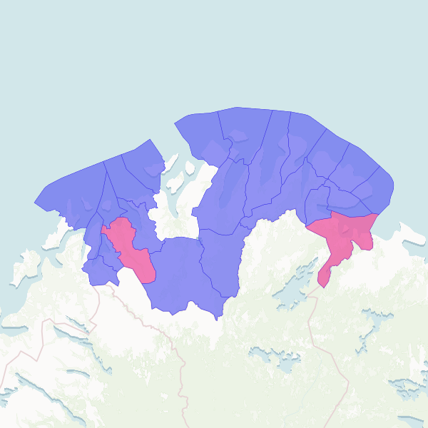
This dataset identifies Norwegian municipalities within the designated intervention zone (Innsatssone) that are classified as Centrality Class 5 or 6, representing the most remote and least central areas of the country.
This dataset was produced by filtering official Norwegian municipality boundaries from the 'gis-kommune' dataset. It specifically selects areas that overlap with the 'Innsatssone' (intervention zone) and fall into the two least-central categories (Sentralitetsklasse 5 and 6).
Showing 10 of 23 rows — open the Table tab for the full, sortable dataset.
We use cookies to improve your experience. Read our privacy policy.