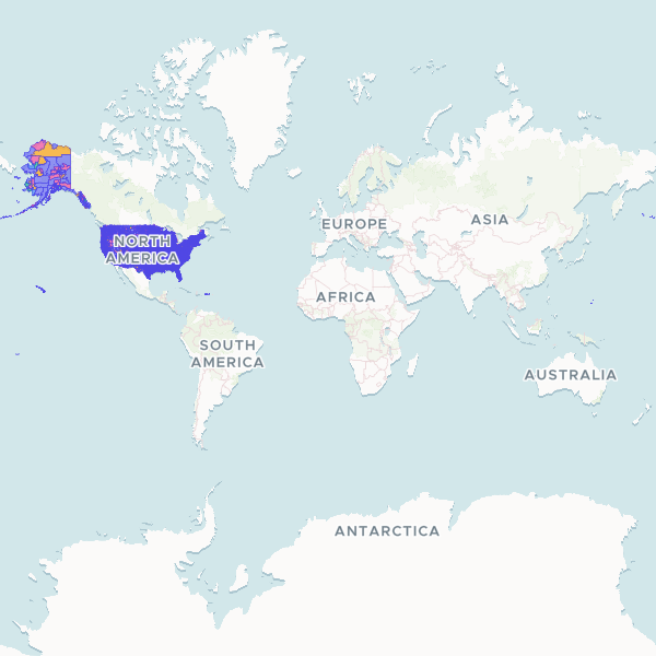
Geographic boundaries and identification codes for Census Block Groups across the United States. This dataset includes standard FIPS codes for states and counties, as well as tract and block group identifiers used by the US Census Bureau for statistical mapping and demographic analysis.
Showing 10 of 242,298 rows — open the Table tab for the full, sortable dataset.
We use cookies to improve your experience. Read our privacy policy.