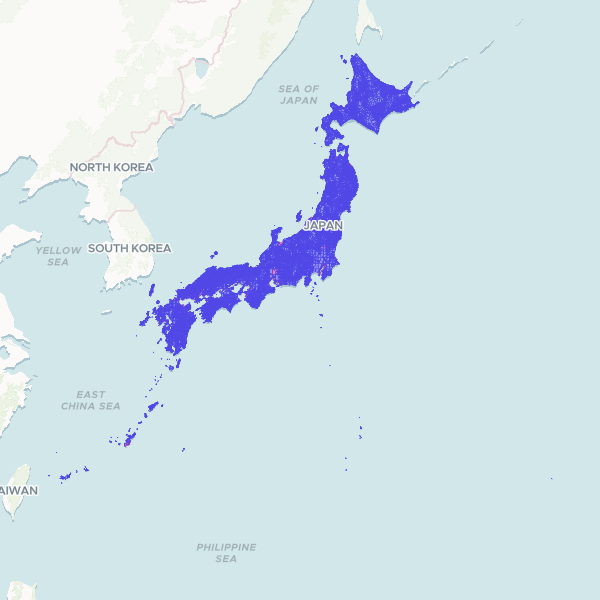
A comprehensive dataset of Japanese administrative boundaries at the census block level, including prefecture, municipality, and neighborhood-level geographic data used for demographic and spatial analysis.
Showing 10 of 2,139,052 rows — open the Table tab for the full, sortable dataset.
We use cookies to improve your experience. Read our privacy policy.