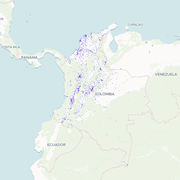
Official administrative boundaries for urban areas, municipal seats (cabeceras), and populated centers across Colombia, based on the 2018 National Geostatistical Framework (MGN).
Showing 10 of 7,644 rows — open the Table tab for the full, sortable dataset.
We use cookies to improve your experience. Read our privacy policy.