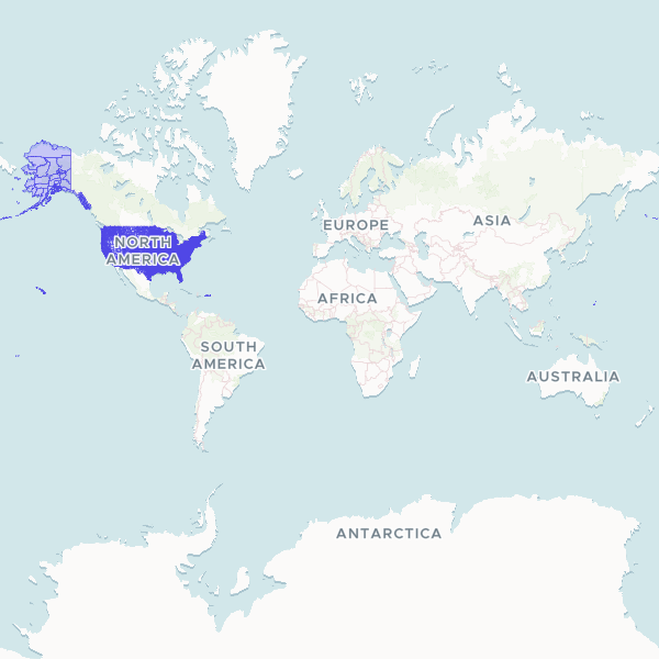
A comprehensive geographic dataset of US Census Tract boundaries, including state and county identifiers. This dataset provides the standard sub-county units used by the US Census Bureau for statistical analysis and demographic reporting across all states.
Showing 10 of 85,184 rows — open the Table tab for the full, sortable dataset.
We use cookies to improve your experience. Read our privacy policy.