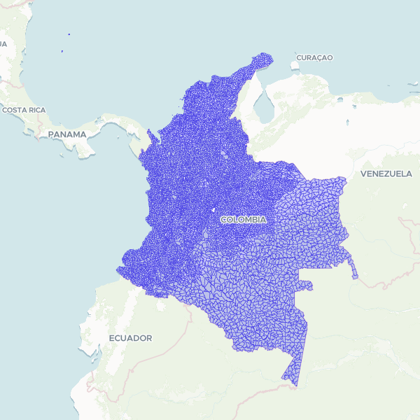
Official administrative and census boundaries for rural sectors across Colombia, based on the 2018 National Geostatistical Framework (MGN). This dataset provides the spatial delimitation of rural areas used for statistical and planning purposes by national authorities.
Showing 10 of 7,060 rows — open the Table tab for the full, sortable dataset.
We use cookies to improve your experience. Read our privacy policy.