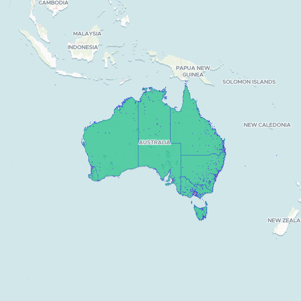
Geographic boundaries and classifications for Urban Centres and Localities (UCL) across Australia based on the 2021 Census. The dataset includes hierarchical classifications such as Section of State (SOS) and population ranges (SSR), facilitating analysis of urbanisation and settlement patterns across different states and territories.
Showing 10 of 1,818 rows — open the Table tab for the full, sortable dataset.
We use cookies to improve your experience. Read our privacy policy.