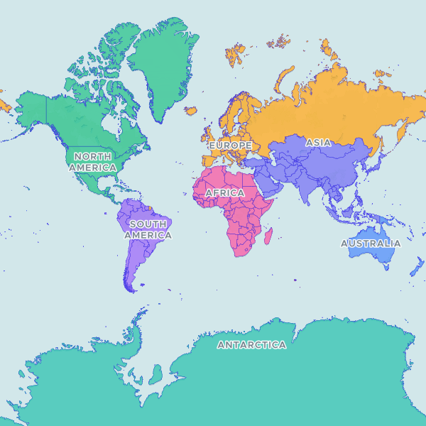
A comprehensive global dataset of country boundaries and sovereign states, including ISO codes, administrative names, and regional classifications for 258 entities.
Natural Earth 1:10m Admin 0 – Countries (version 5.1.1), the public-domain world country layer from the North American Cartographic Information Society. 258 countries and territories, including dependencies and areas of disputed or indeterminate status — Natural Earth maps de facto boundaries rather than any one government's claimed borders. Join on ADM0_A3: it is populated for every unit, whereas the ISO code columns carry Natural Earth's '-99' placeholder for 22 units, France and Norway among them. Population and GDP attributes have been removed.
Showing 10 of 258 rows — open the Table tab for the full, sortable dataset.
We use cookies to improve your experience. Read our privacy policy.